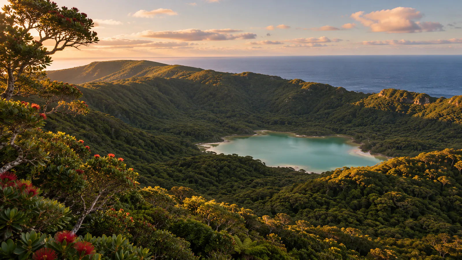
Illustration of Raoul Island

New Zealand · Kermadec Islands, South Pacific

Raoul Island webcams.

Raoul Island webcams: GeoNet's volcano camera over the crater lake and forest of Rangitāhua in the Kermadec Islands, with current marine weather.

Raoul Island's cameras are on the publisher's own site: this page links to 1 official view from GeoNet (GNS Science).

Official cameras

Raoul Island - GeoNet camera page

Opens at the publisher

Plan your visit

Raoul Island at a glance

What to expect, when to go and what to look for on the live view. Check official local information before you make plans.
Best for
A rare look at an active island volcano far out in the South Pacific
Best time to watch
Year-round; the climate is mild and subtropical, with the roughest weather in the cyclone season
Watch for
Changes in the colour and level of the crater lake, cloud pouring over the caldera rim and dawn colour over the sea
Location
Kermadec Islands, South Pacific, New Zealand
Coordinates
-29.2667, -177.9167
Cameras
1 on the official page
Published by
GeoNet (GNS Science)
Official site
doc.govt.nz
Listings last reviewed

Raoul Island webcams: what each camera shows

  1. Raoul Island - GeoNet camera page

    GeoNet's page for the camera: the latest still over the crater lake and forested caldera of Raoul Island, with the Pacific behind, and the day's earlier images.

    Opens on the publisher's site · GeoNet (GNS Science) · View at GeoNet (GNS Science)

About Raoul Island

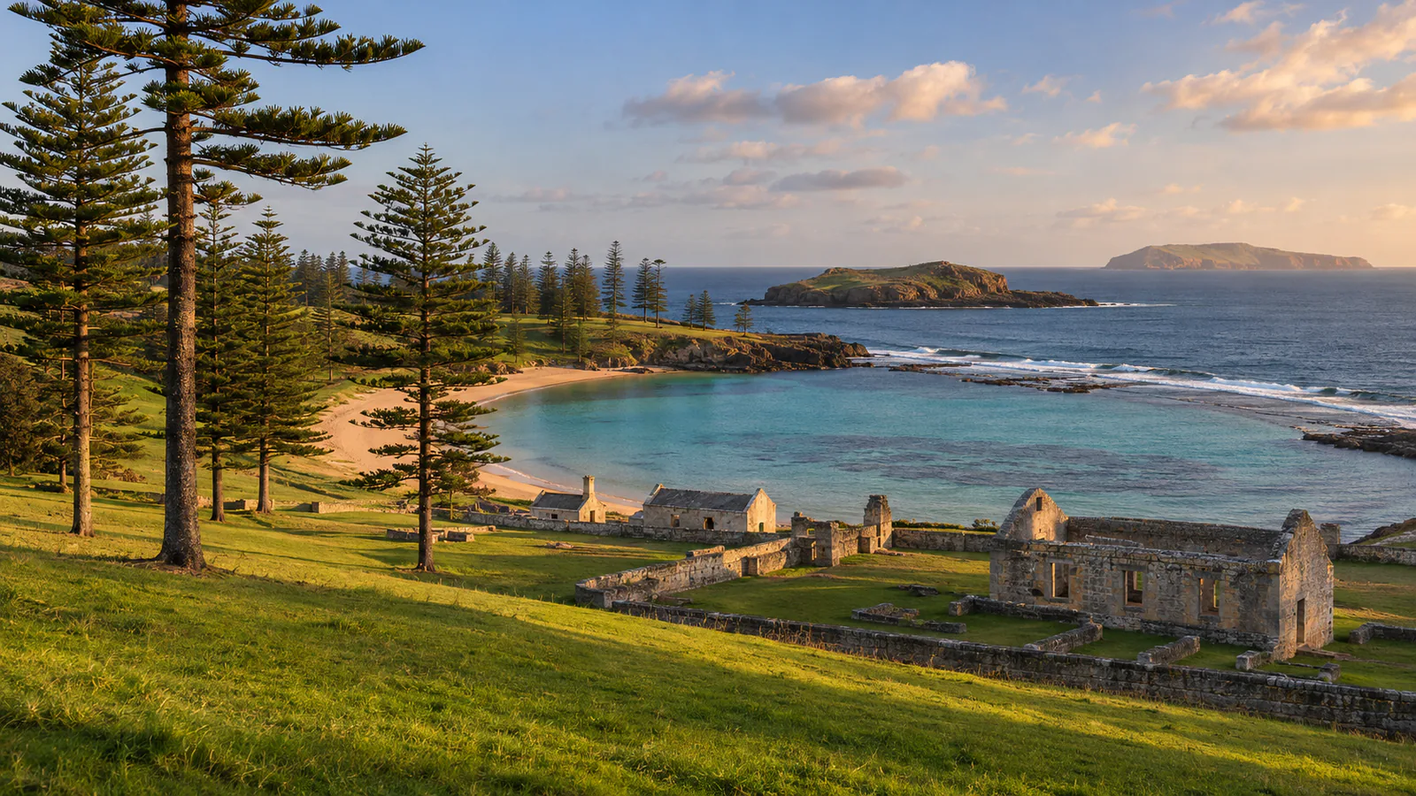
Raoul Island, or Rangitāhua, is the largest of New Zealand's Kermadec Islands, about 1,100 kilometres north-north-east of the North Island. It is an active volcano covered in subtropical forest, with a lake on the caldera floor. This Raoul Island webcam, a GeoNet volcano-monitoring camera, looks down over the crater lake to the coast and the open Pacific.

Which Raoul Island webcam to check first

GeoNet's page shows the camera's latest still and the ones before it, taken through the day and stamped in New Zealand time. Look for the pale crater lake in the foreground, the forested ridge behind it and the sea beyond. At night the frame is dark.

Before you go to Raoul Island

The Kermadec Islands are a nature reserve and landing needs a permit from the Department of Conservation. GeoNet publishes the volcanic alert level for Raoul Island and MetService issues the marine forecast for the Kermadec area.

About live views

Live cameras and modelled weather can be delayed, incomplete or offline. Check official weather, access and safety information before you make plans.