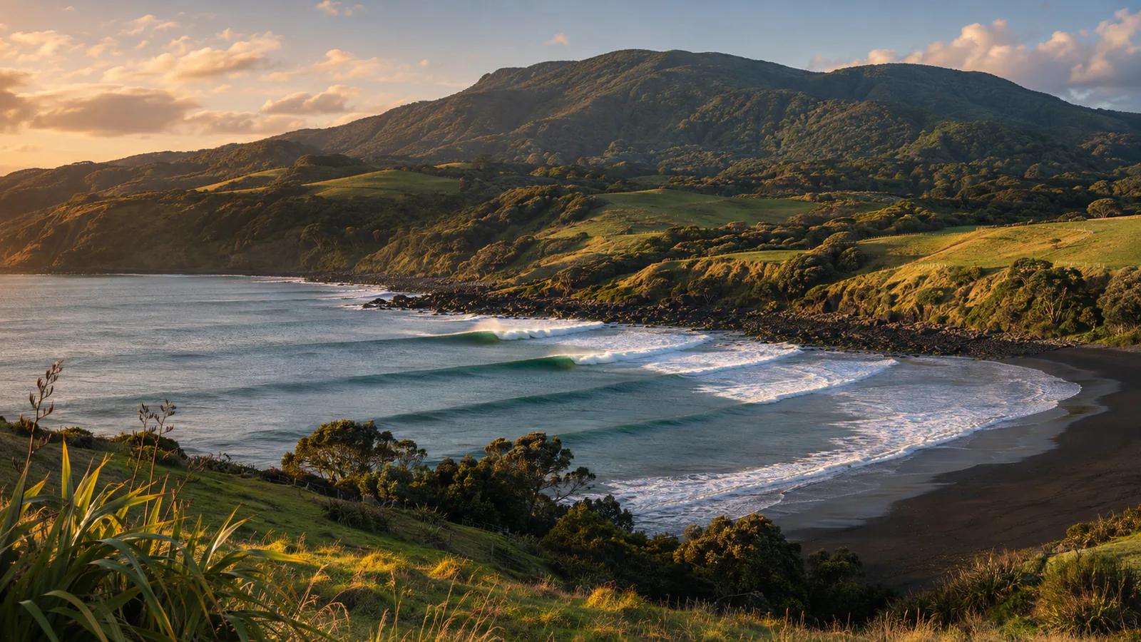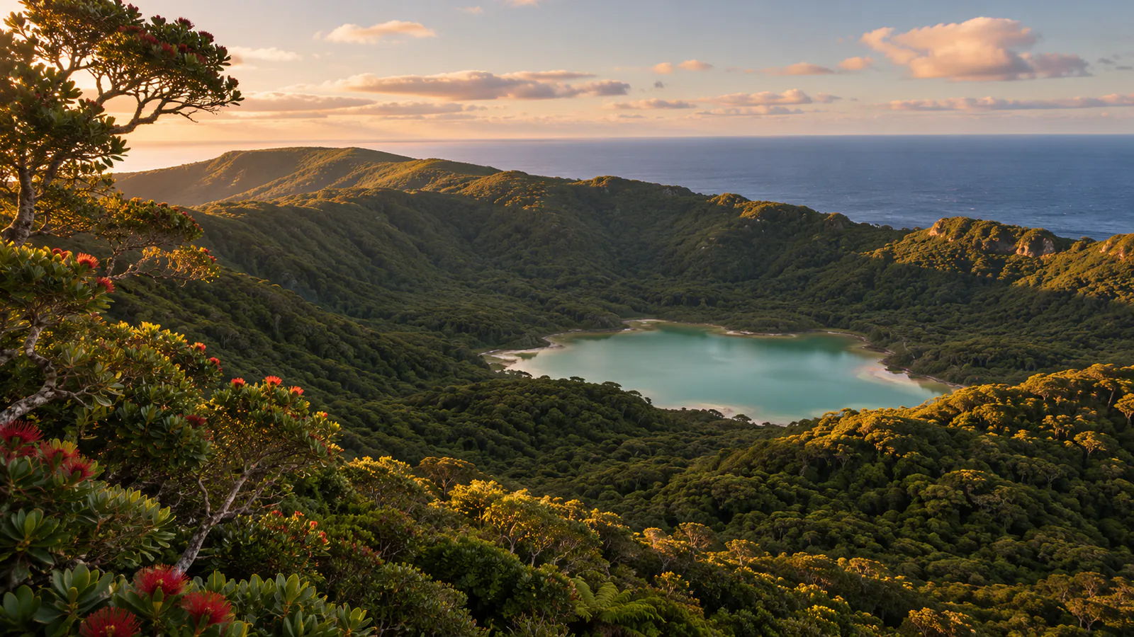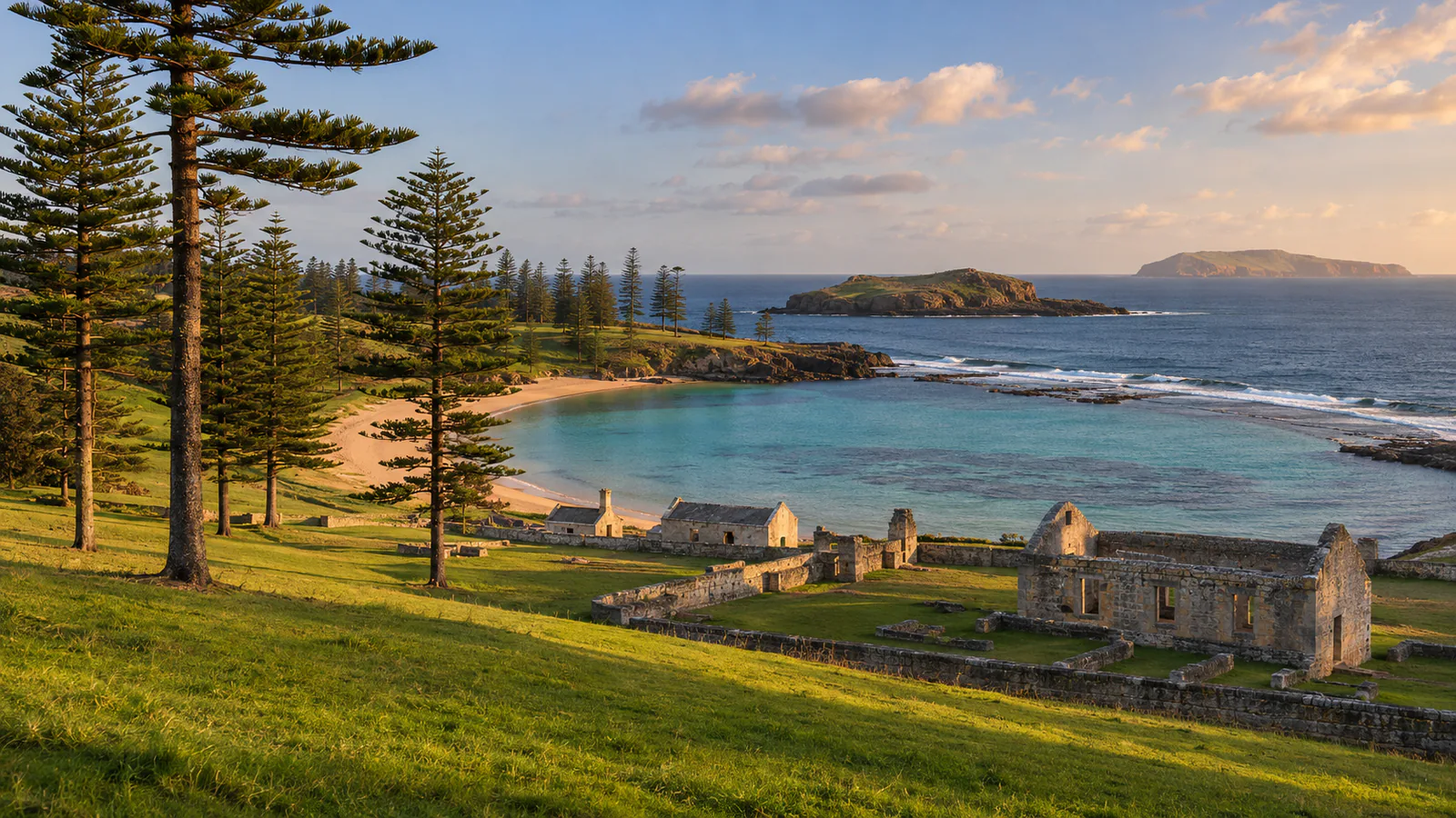
Illustration of Norfolk Island

Norfolk Island · South Pacific, Australian external territory

Norfolk Island webcams.

Norfolk Island webcams: Airservices Australia's weather cameras beside the island's airport, with Norfolk pines on the skyline and current weather.

Norfolk Island has 2 camera views on this page, published by Airservices Australia.

Camera 1 of 2

Norfolk Island - Airport looking north

Still image · reloads every 90 sView at source
Latest live camera view: Norfolk Island - Airport looking northCamera image · Reloads every 90 seconds

Mown grass, a stand of Norfolk Island pines and the weather office with its white radar dome. Airservices Australia

2 cameras at Norfolk Island

Plan your visit

Norfolk Island at a glance

What to expect, when to go and what to look for on the live view. Check official local information before you make plans.
Best for
Seeing the day's weather on a small island between Australia and New Zealand
Best time to watch
Year-round; the climate is mild and subtropical, with more rain in winter
Watch for
Low cloud and showers sweeping over the island, Norfolk Island pines on the skyline and green pasture after rain
Location
South Pacific, Australian external territory, Norfolk Island
Coordinates
-29.0333, 167.9500
Cameras
4 views
Published by
Airservices Australia
Official site
norfolkisland.com.au
Listings last reviewed

Norfolk Island webcams: what each camera shows

  1. Norfolk Island - Airport looking north

    Mown grass, a stand of Norfolk Island pines and the weather office with its white radar dome.

    Still image, refreshed by the publisher · Airservices Australia

  2. Norfolk Island - Airport looking east

    The grass airfield and its instruments, with Norfolk Island pines along the horizon.

    Still image, refreshed by the publisher · Airservices Australia

  3. Norfolk Island - Airservices weather cameras

    The official camera page for Norfolk Island, with every view and the time of each image.

    Opens on the publisher's site · Airservices Australia

All cameras: view at Airservices Australia

About Norfolk Island

Norfolk Island is an Australian external territory in the Pacific Ocean between New Zealand and New Caledonia, about 1,400 kilometres east of the Australian mainland. It is a small green island of pasture and the tall, symmetrical pines that carry its name. These Norfolk Island webcams are aviation weather cameras run by Airservices Australia at the Bureau of Meteorology site beside the airport.

Which Norfolk Island webcam to check first

Start with the north view, which looks across mown grass to a stand of Norfolk Island pines and the weather office with its radar dome. The east view looks over the airfield to more pines on the horizon. Both show the cloud base at a glance.

Before you go to Norfolk Island

Flights to Norfolk Island can be delayed or diverted by low cloud and crosswinds. Check the Bureau of Meteorology's Norfolk Island forecast before you travel.

About live views

Live cameras and modelled weather can be delayed, incomplete or offline. Check official weather, access and safety information before you make plans.