About Mt Ruapehu
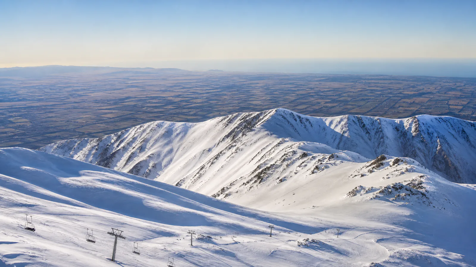
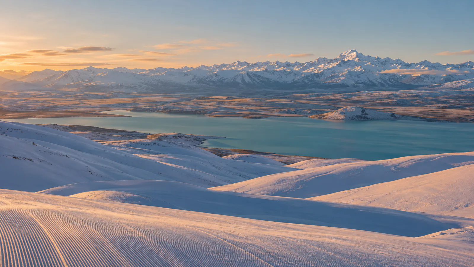
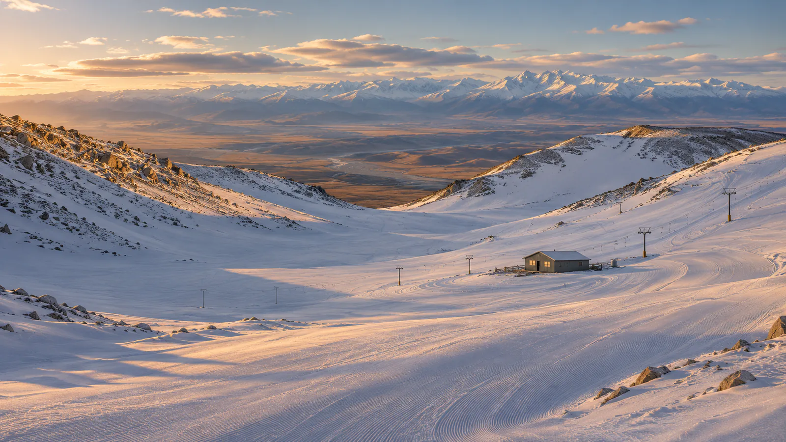
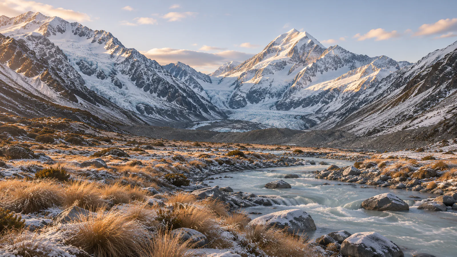
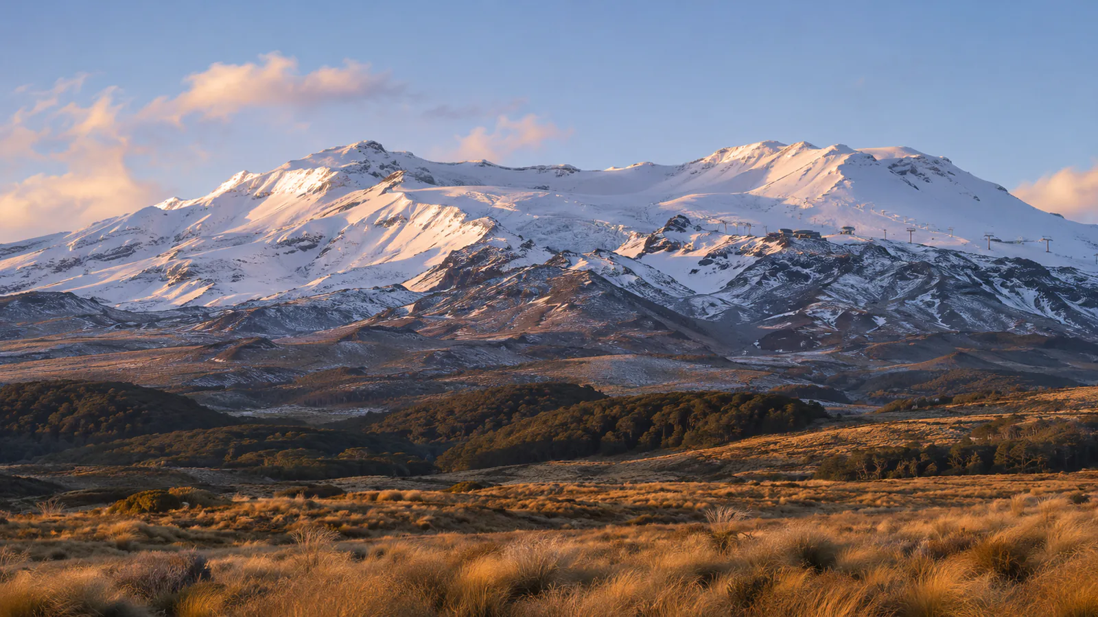
Mt Ruapehu is the highest mountain in the North Island, an active volcano in Tongariro National Park with Tūroa on its south-west side and Whakapapa to the north-west. Weather off the Tasman Sea can wrap the mountain in cloud or strip it to ice in a day. This Mt Ruapehu live cam looks up at the volcano from Ohakune, and the official webcams show each ski area.
Which Mt Ruapehu webcam to check first
Start with the Ohakune stream to see whether the summit is clear. Then open the Tūroa or Whakapapa webcams for the ski area you plan to visit.
Before you go to Mt Ruapehu
Check each ski area's report, MetService's Tongariro forecast and any volcanic alert level before you go. Wind and ice often close the upper lifts.
Webcams and modelled weather can be delayed, incomplete or offline. A camera can't tell you whether a lift, piste, road or off-piste route is open or safe.