About Tsavo
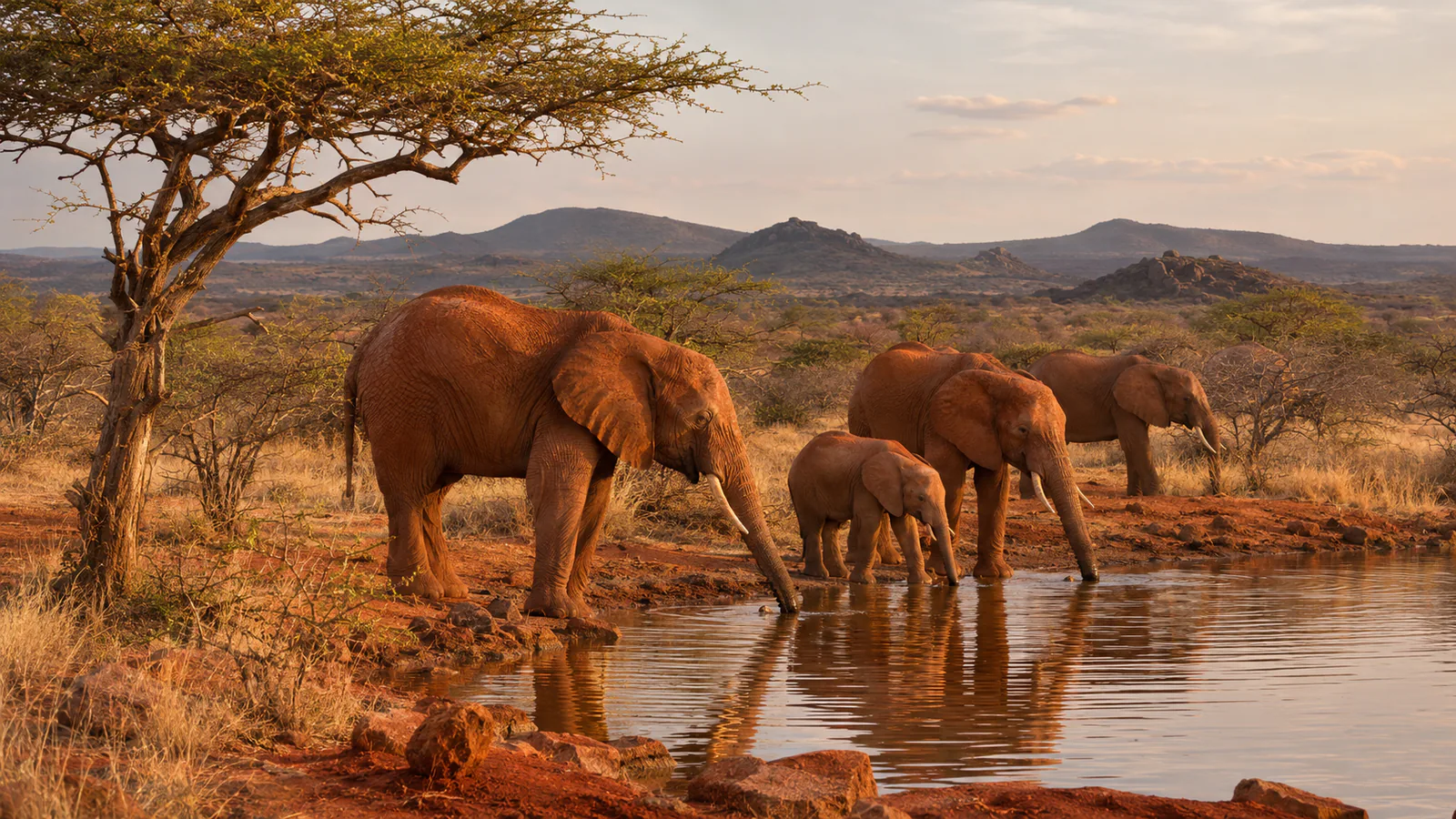
Tsavo East and Tsavo West together form one of the largest protected areas in Africa, a dry country of red soil, bush and old lava flows between Nairobi and the coast. Tsavo West, the hillier half, has the springs of Mzima and the lava fields at the foot of the Chyulu Hills. Finch Hattons, a tented camp named after the English aristocrat and hunter Denys Finch Hatton, stands beside a waterhole and hippo pools in the park. This Tsavo live cam from Africam shows the Finch Hattons waterhole.
Which Tsavo webcam to check first
The single stream looks over the waterhole at Finch Hattons. Dawn and late afternoon are the busiest times, and some nights bring lions and hyenas. Kenya is three hours ahead of UTC all year.
Before you go to Tsavo
Tsavo West is about four to five hours by road from Nairobi on the Mombasa road, and the camps have airstrips for light aircraft. Check the Kenya Meteorological Department's forecast for the long rains in April and May and the short rains in November.
Live cameras and modelled weather can be delayed, incomplete or offline. Check official weather, access and safety information before you make plans.