About Tarangire
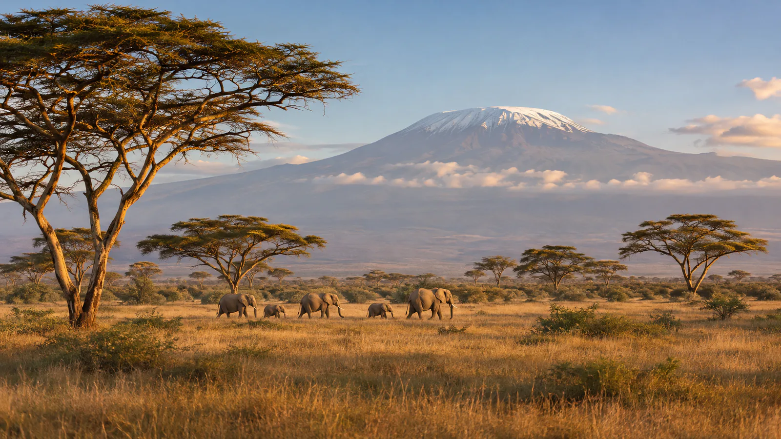
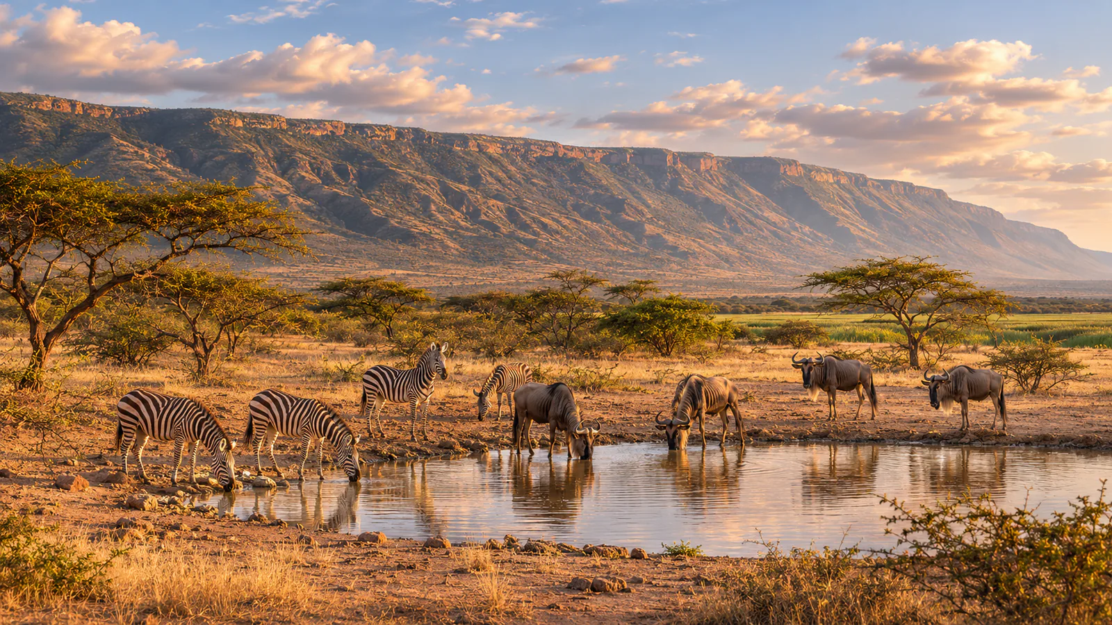
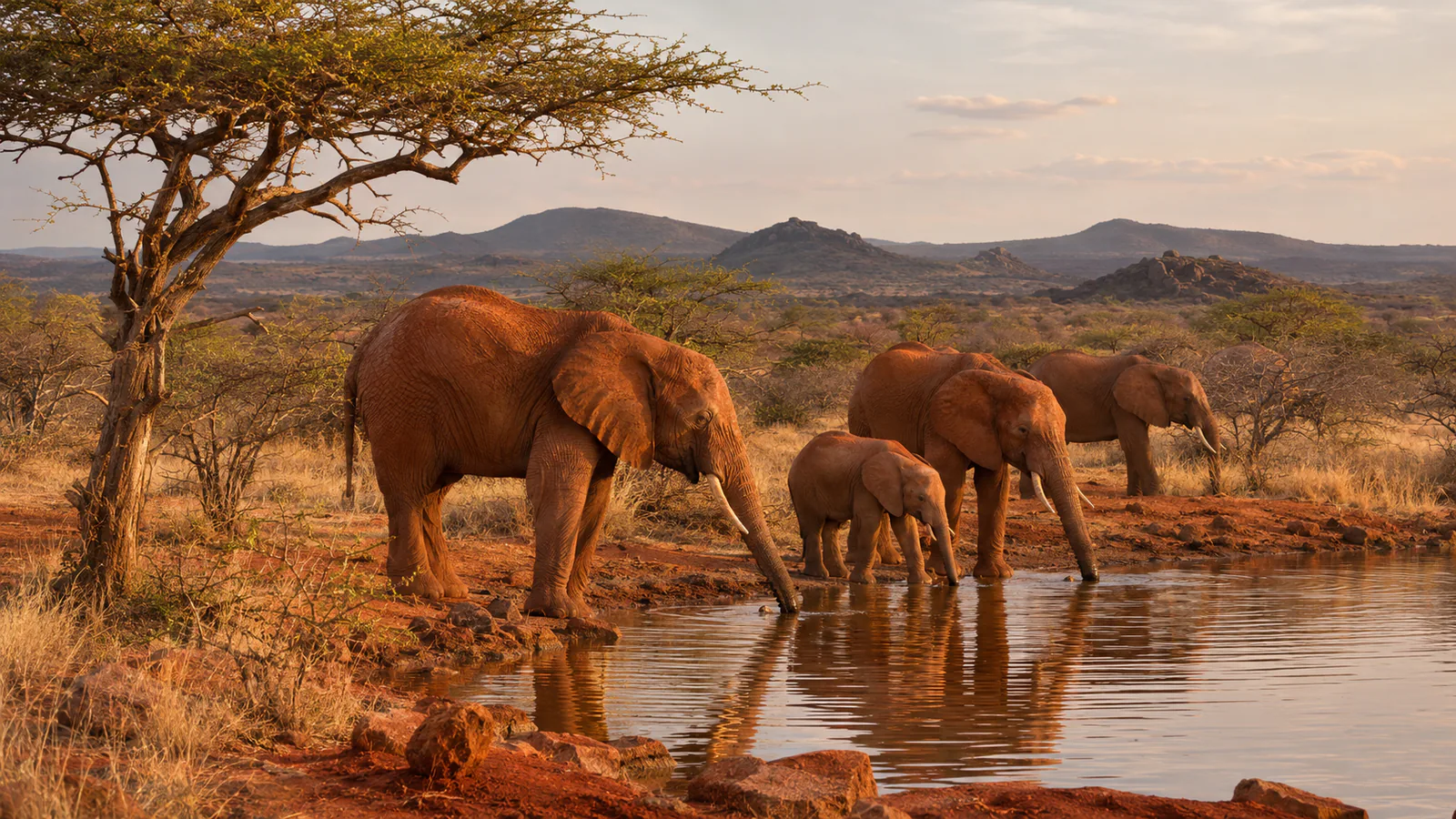
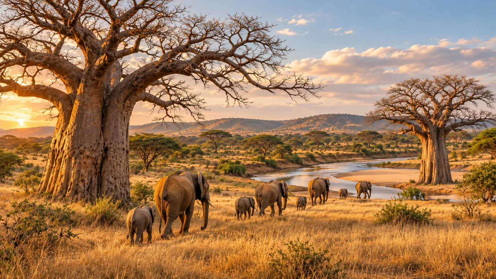
Tarangire National Park lies in northern Tanzania, south-west of Arusha, and takes its name from the Tarangire River, which runs through it. The park is known for its giant baobab trees and for its elephants, which gather in large herds along the river in the dry season, when it is the main source of water for a wide area. Nimali Tarangire is a tented camp in a private conservancy on the north-eastern edge of the park. This Tarangire live cam from Africam shows the camp's waterhole.
Which Tarangire webcam to check first
The single stream looks over the Nimali Tarangire waterhole. The dry season brings the most animals, and early morning and late afternoon are the busiest times. Tanzania is three hours ahead of UTC all year.
Before you go to Tarangire
Tarangire is about two and a half hours by road from Arusha and is often combined with Lake Manyara, the Ngorongoro Crater and the Serengeti. The short rains fall in November and December and the long rains from March to May.
Live cameras and modelled weather can be delayed, incomplete or offline. Check official weather, access and safety information before you make plans.