About Serre Chevalier
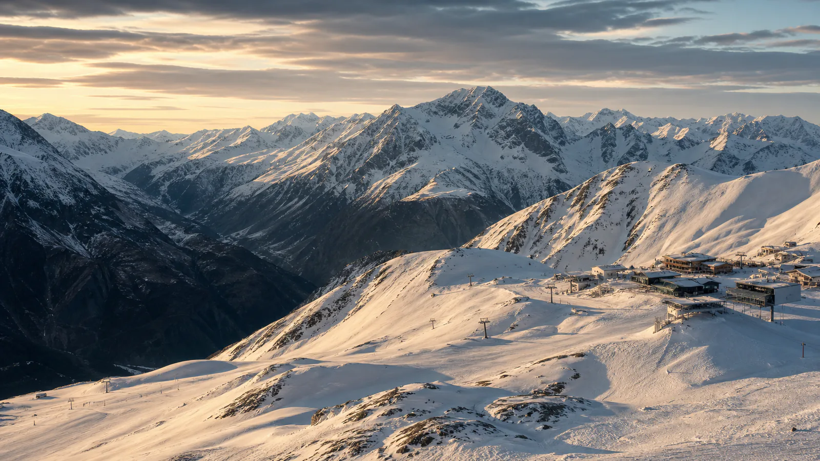
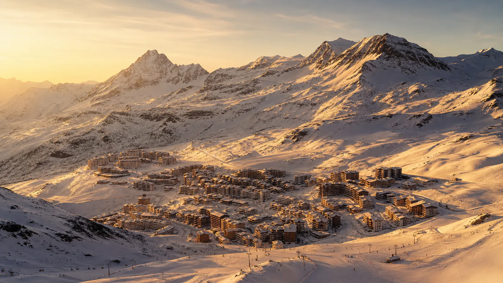
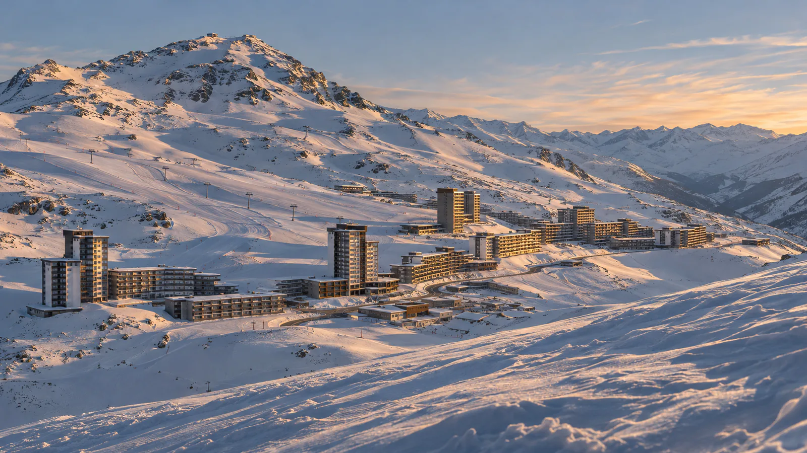
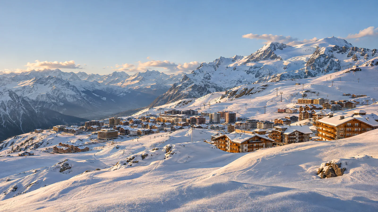
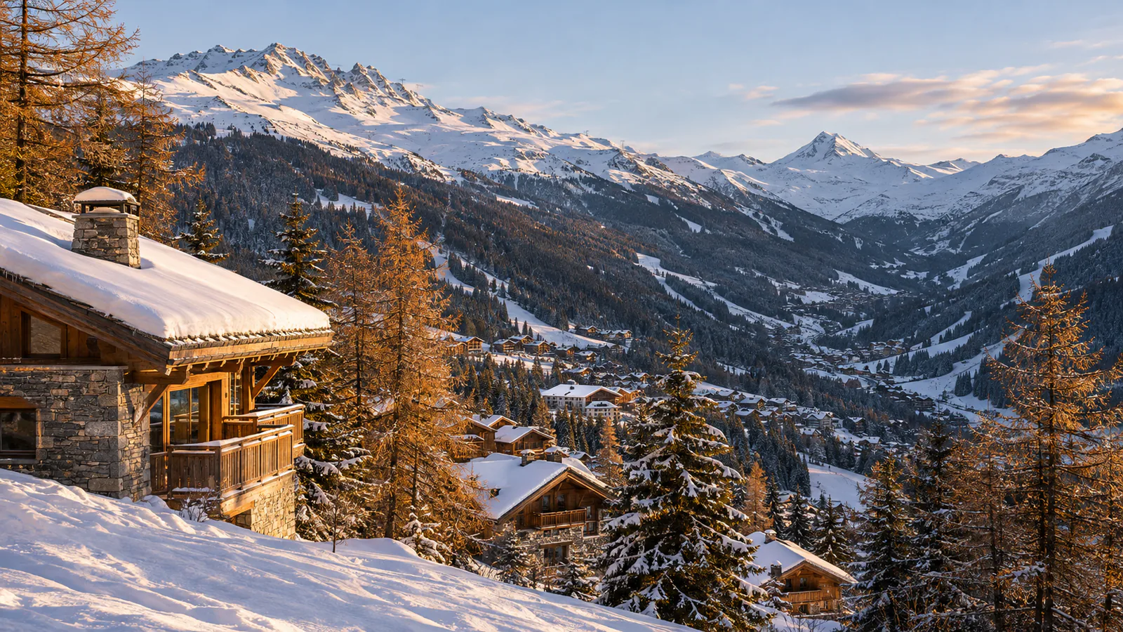
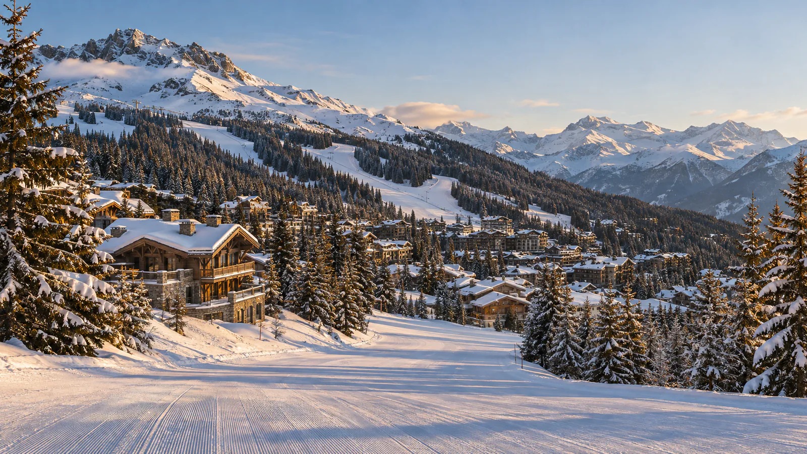
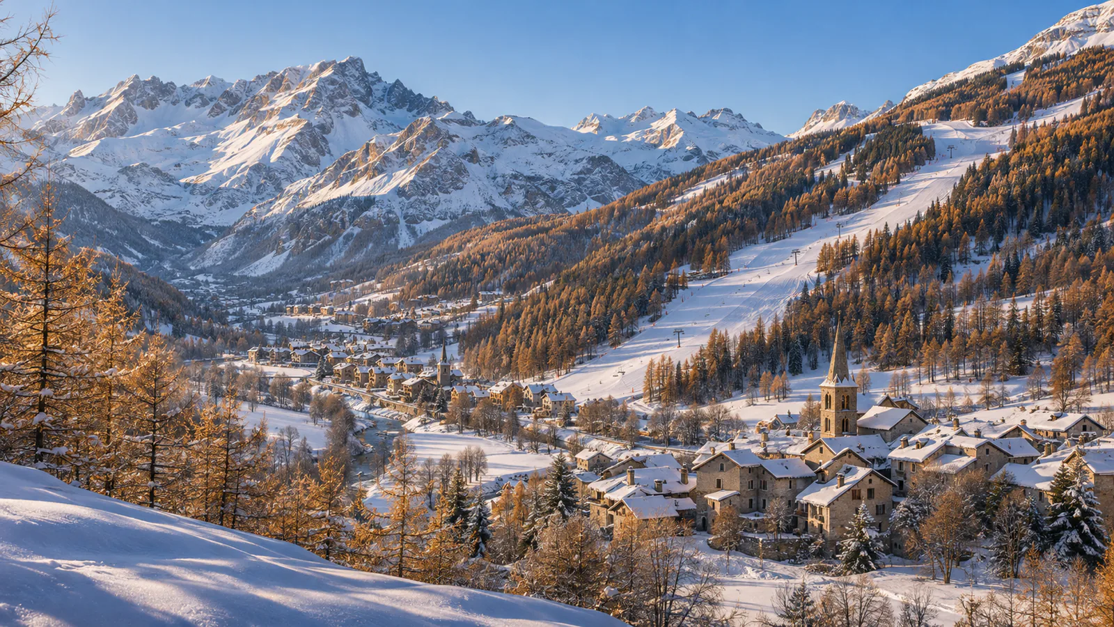
Serre Chevalier is a long ski area above the Guisane valley in the Hautes-Alpes, linking Briançon with the villages of Chantemerle, Villeneuve and Le Monêtier-les-Bains. Much of the skiing is in larch forest, which keeps visibility better in storms, while the tops reach over 2,700 metres on the edge of the Écrins. These Serre Chevalier webcams follow the valley from Briançon to the Col du Lautaret.
Which Serre Chevalier webcam to check first
Start with Cucumelle, Prorel and Plateau de Méa for the upper slopes, then Chantemerle's cable-car square for the main base. Bachas and Clot des Vaches show the Monêtier end of the valley, Briançon shows the town and its forts, and the Lautaret camera shows the pass road.
Before you go to Serre Chevalier
Check the resort's weather page and road conditions on the Col du Lautaret and the Montgenèvre pass before you travel. Opening dates depend on snow, so confirm them with the resort early in the season.
Webcams and modelled weather can be delayed, incomplete or offline. A camera can't tell you whether a lift, piste, road or off-piste route is open or safe.