About Méribel
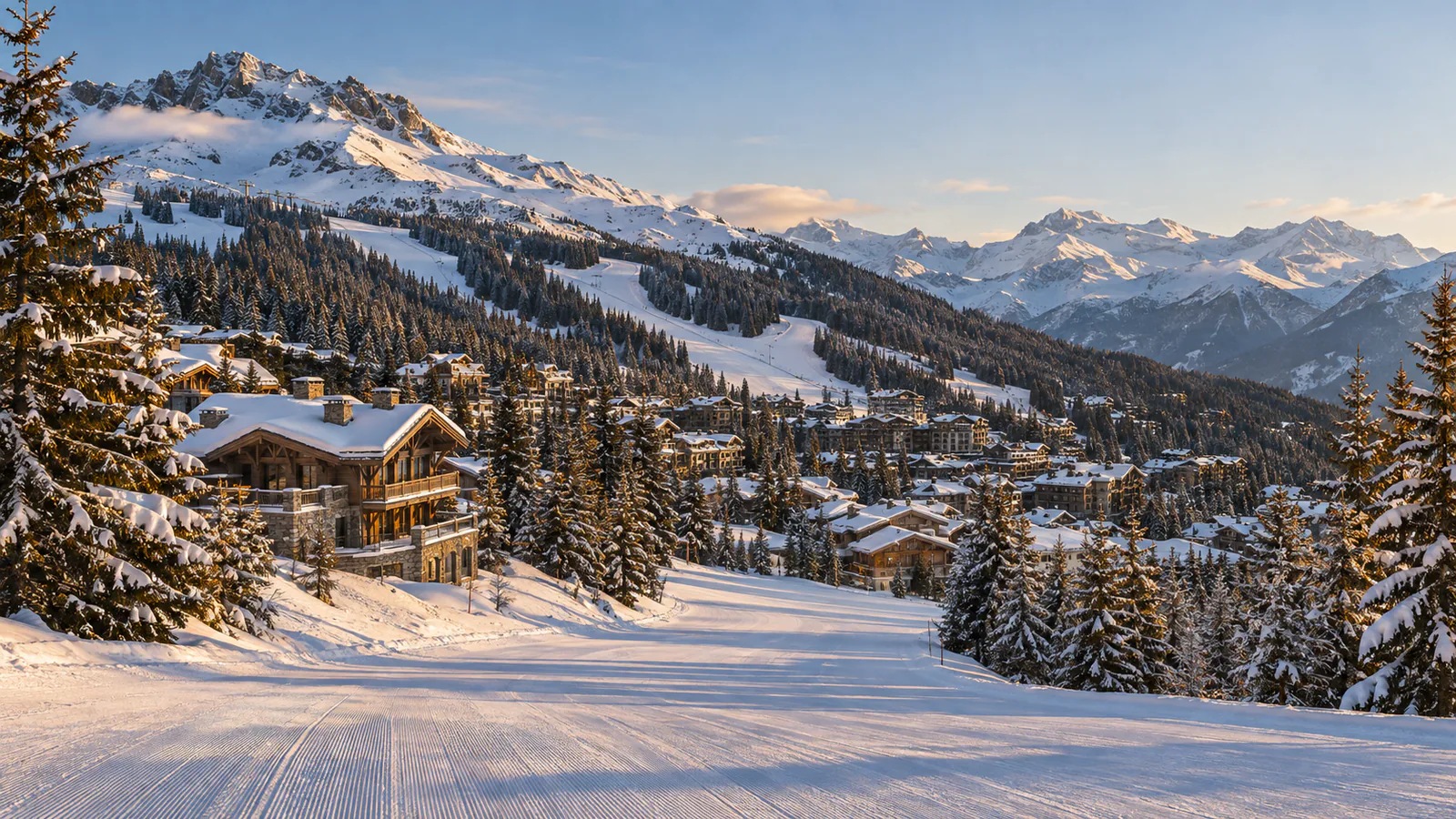
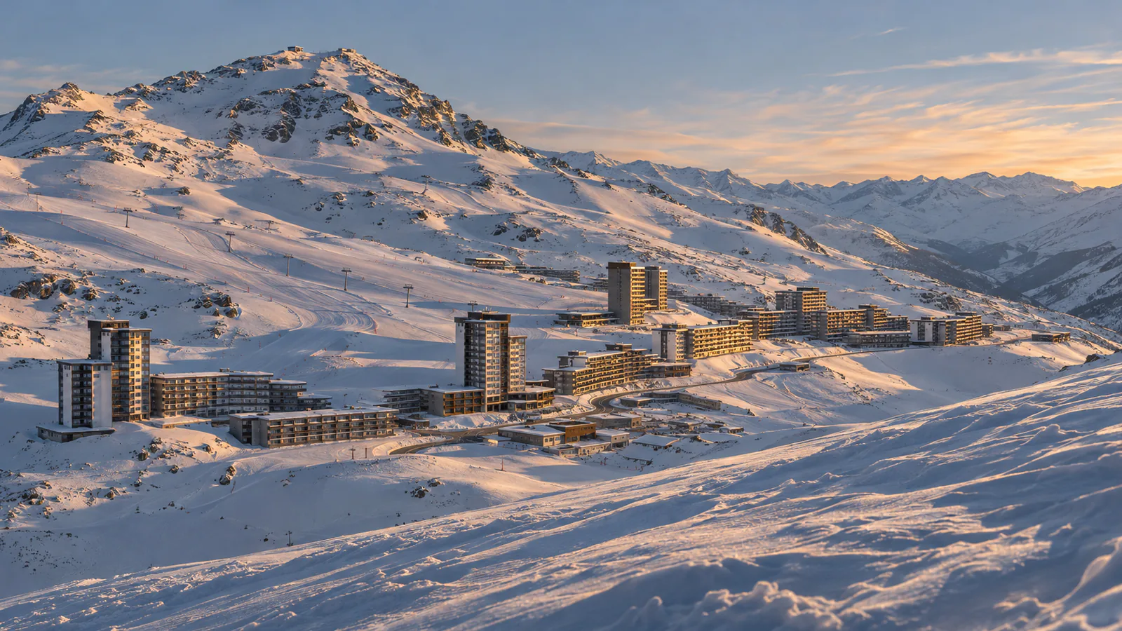
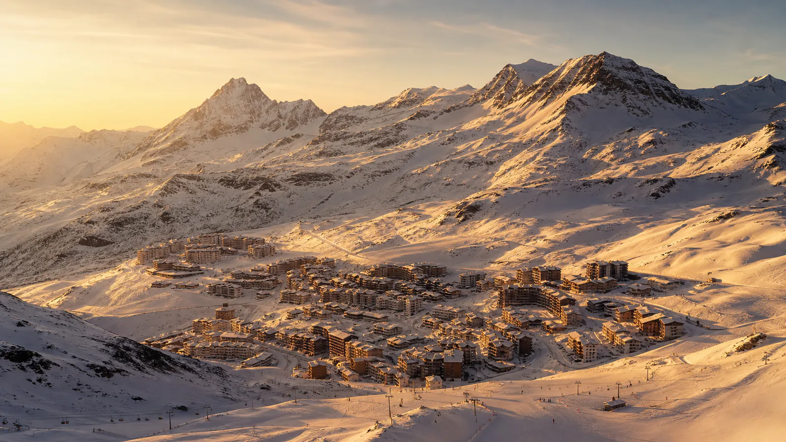
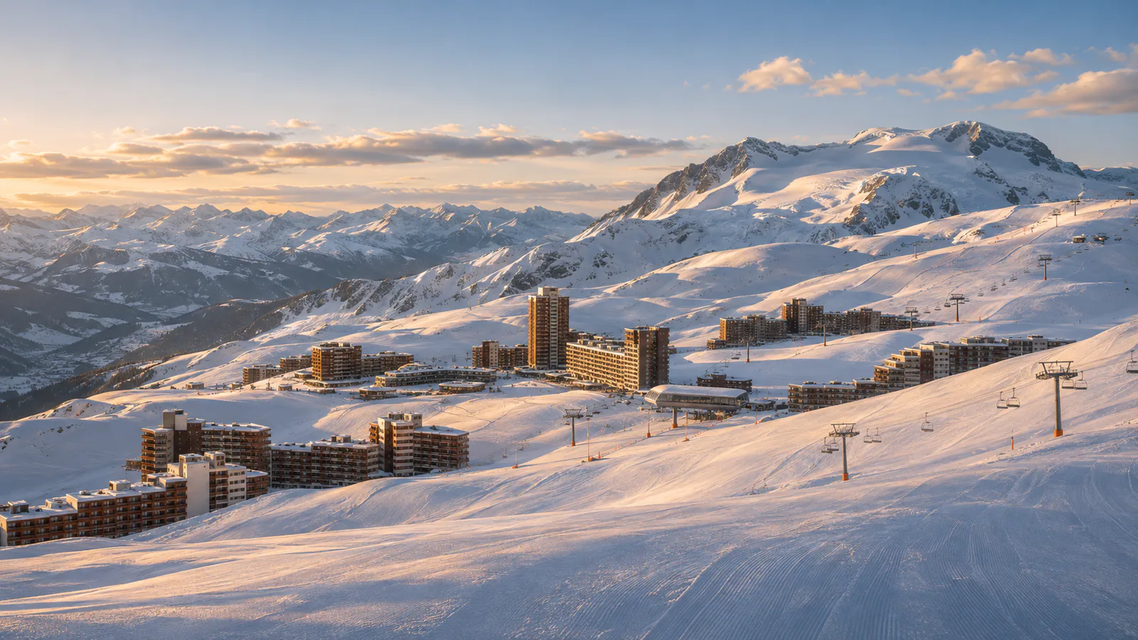
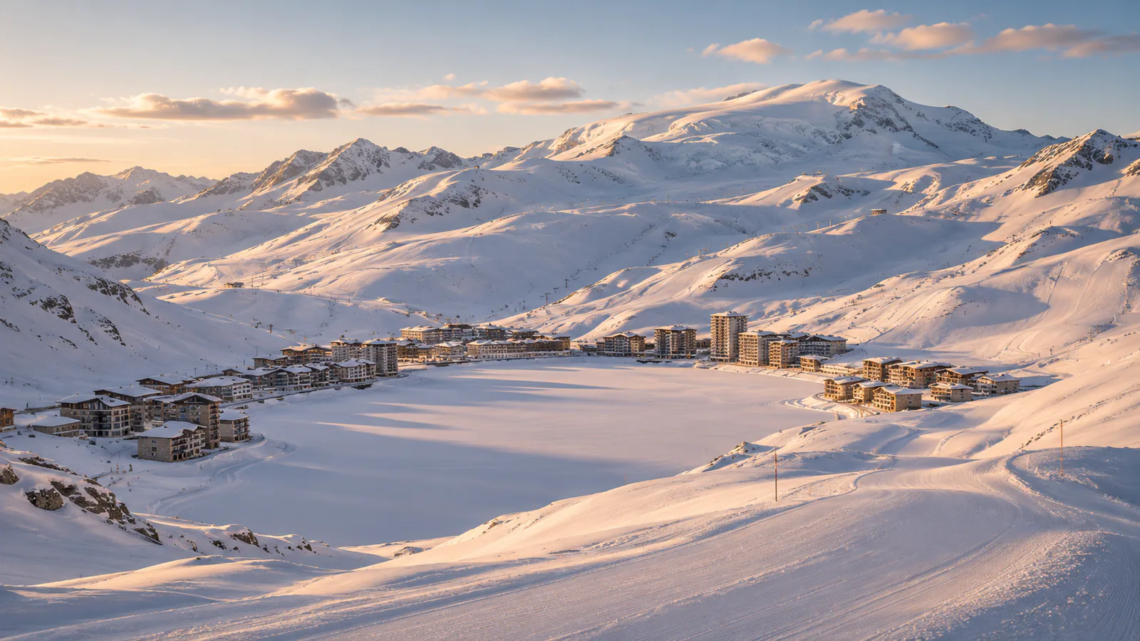
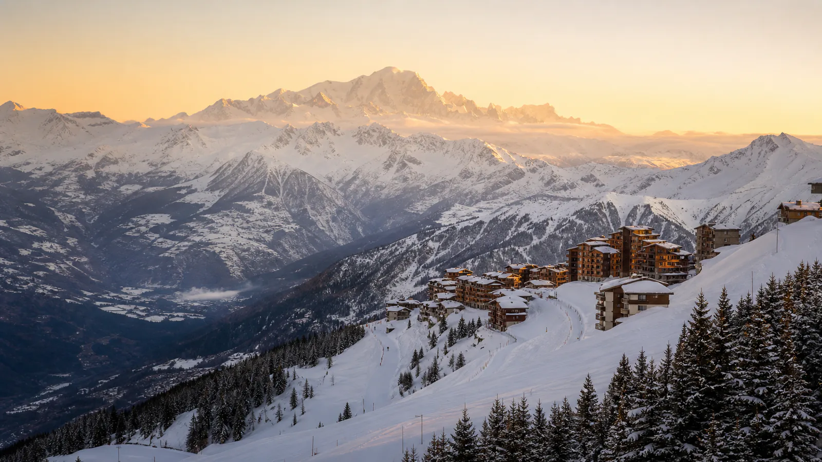
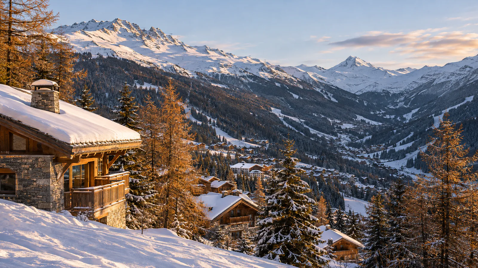
Méribel lies in the middle of Les 3 Vallées, between Courchevel and Val Thorens, with chalet-style buildings of wood and stone spread up a forested valley. Its slopes run from the village and Mottaret up to high, open ridges on both sides, so the top and bottom of the valley can feel very different. These Méribel webcams cover the valley from the Chaudanne base to Mont Vallon.
Which Méribel webcam to check first
Start with Mont Vallon for the high terrain at the head of the valley, then Tougnète and the Saulire side for each flank. Roc de Fer shows the ridge above the village, Lac de Tuéda the valley floor at Mottaret, and Chaudanne and the Mottaret base show the busiest lift areas.
Before you go to Méribel
Check Méribel's weather page and the 3 Vallées lift status before you set out, and conditions on the road from Moûtiers. The links to the neighbouring valleys can close in wind or poor visibility.
Webcams and modelled weather can be delayed, incomplete or offline. A camera can't tell you whether a lift, piste, road or off-piste route is open or safe.