








About Santa Monica Bay
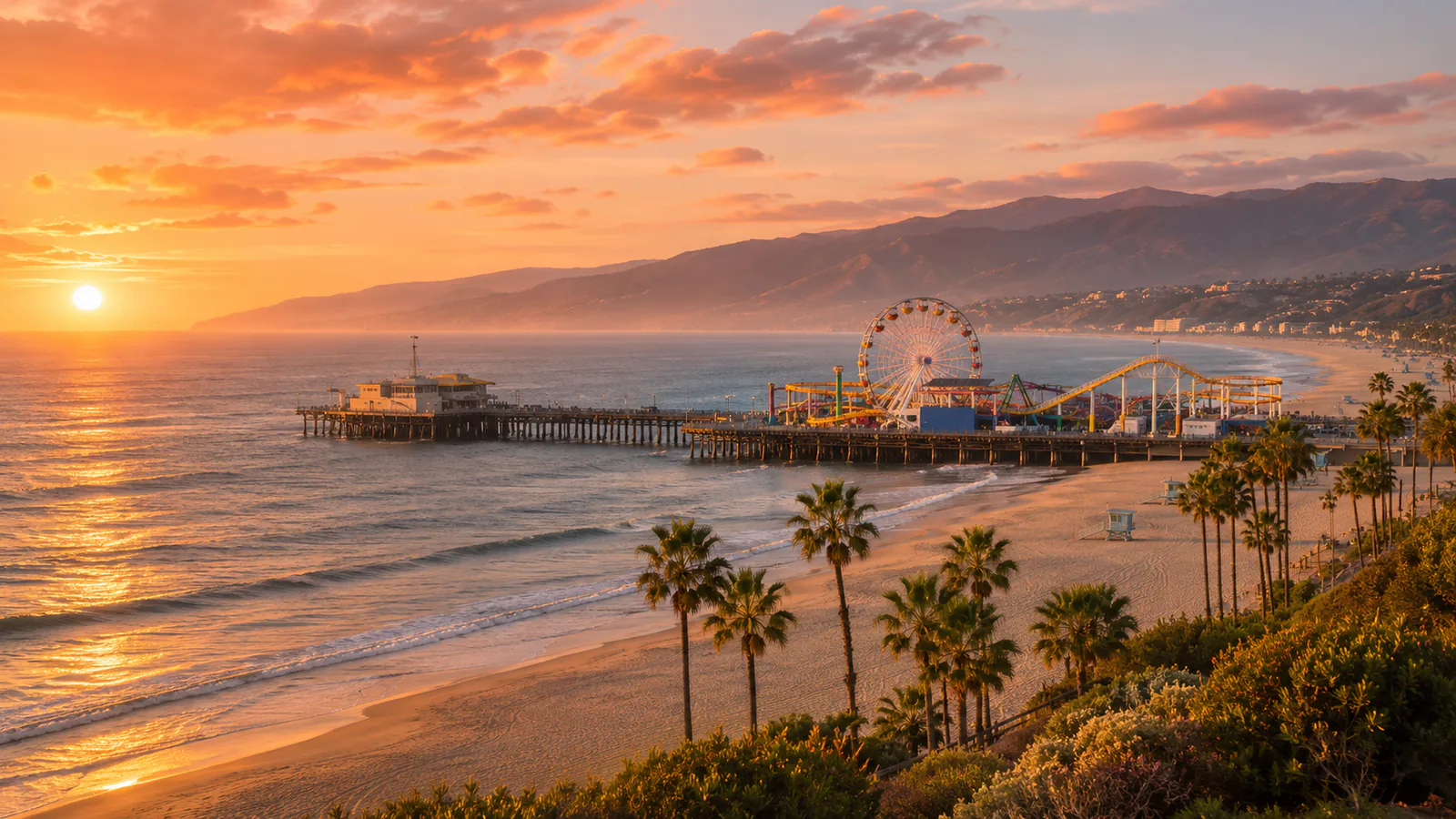
Santa Monica Bay curves along the coast of Los Angeles County, from Malibu in the north-west to the Palos Verdes Peninsula in the south. Santa Monica Pier, opened in 1909, is the end of the historic Route 66 and carries the Pacific Park funfair with its solar-powered Ferris wheel. Malibu, to the west, stretches for more than 30 kilometres along the coast below the Santa Monica Mountains, with famous surf at Surfrider Beach. These Santa Monica Bay live cams from explore.org and LA Times Studios show the pier and Malibu.
Which Santa Monica Bay webcam to check first
Start with explore.org's Santa Monica camera for the beach and the pier, then the LA Times camera on Malibu Beach. California is eight hours behind UTC in winter and seven in summer.
Before you go to Santa Monica Bay
Santa Monica is about 20 minutes from Los Angeles International Airport and is the western end of the Metro E Line. The Pacific Coast Highway runs along the bay to Malibu. Check the National Weather Service for high surf and Santa Ana wind warnings.
Live cameras and modelled weather can be delayed, incomplete or offline. Check official weather, access and safety information before you make plans.