About Las Vegas
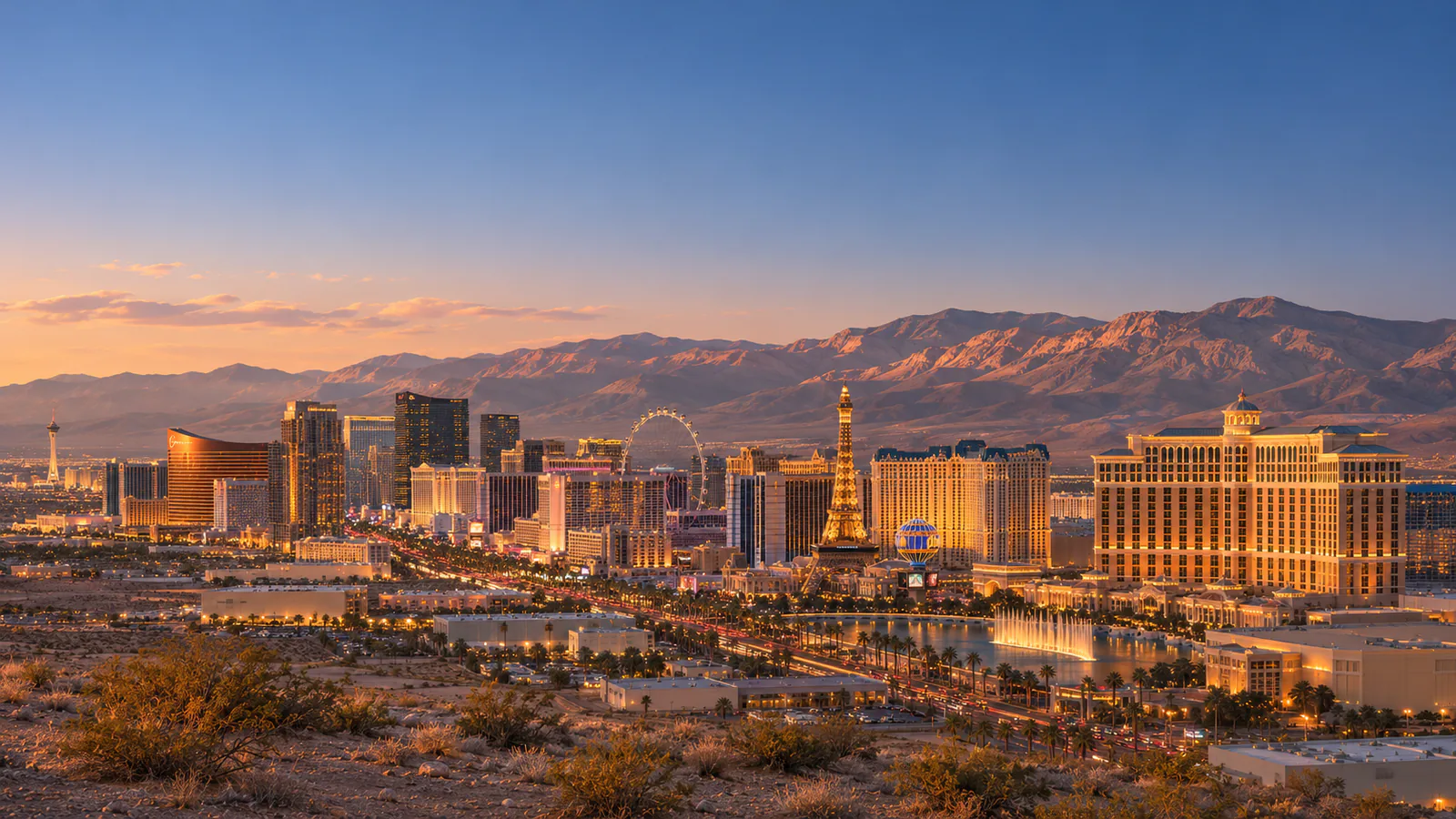
Las Vegas lies in a desert basin in southern Nevada, ringed by mountains, with the Spring Mountains and Mount Charleston to the west. The city grew from a railway town founded in 1905 into the world's best-known gambling resort after Nevada legalised gambling in 1931. Downtown, around Fremont Street, is the old centre, while the Strip runs south of the city limits along Las Vegas Boulevard. This Las Vegas live cam from the City of Las Vegas looks out from the roof of City Hall downtown.
Which Las Vegas webcam to check first
The single stream is the City of Las Vegas's roof camera on City Hall, looking over downtown. Nevada is eight hours behind UTC in winter and seven in summer.
Before you go to Las Vegas
Harry Reid International Airport is about 15 minutes from the Strip and 20 from downtown. Summer days are very hot, often above 40 degrees, so drink plenty of water. Check the National Weather Service for heat warnings and flash floods.
Live cameras and modelled weather can be delayed, incomplete or offline. Check official weather, access and safety information before you make plans.