About Pangnirtung
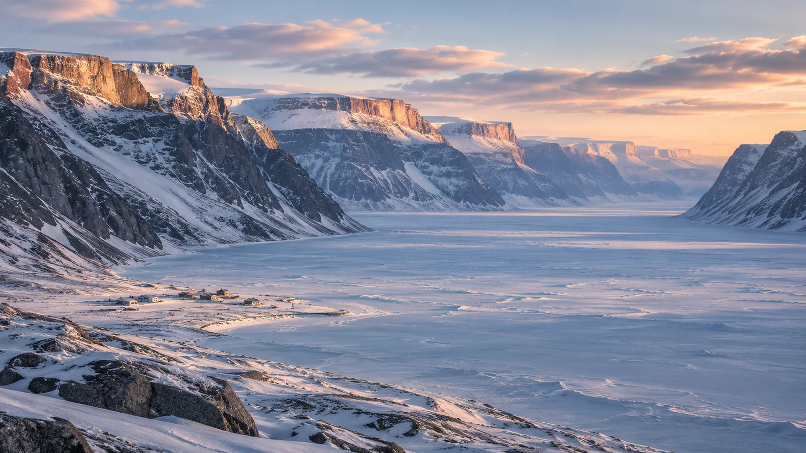
Pangnirtung is an Inuit hamlet on Baffin Island in the Canadian territory of Nunavut, about 45 kilometres south of the Arctic Circle. It sits on a narrow coastal plain beside Pangnirtung Fiord, which opens into Cumberland Sound, with steep mountains on both sides. These Pangnirtung webcams are NAV CANADA's aviation weather cameras at the airstrip in the middle of the hamlet, shown on the FAA's weather camera site.
Which Pangnirtung webcam to check first
The page shows three cameras by compass direction, each with a loop of recent stills. North-east looks up the fiord to the mountains, and south-west and north-west take in the slopes above the hamlet. In early winter the sun only reaches the peaks for a few hours around local midday.
Before you go to Pangnirtung
Pangnirtung is reached by air from Iqaluit, and flights are often held by wind and low cloud. Check Environment Canada's forecast and your airline's notices; visitors to Auyuittuq National Park must register with Parks Canada.
Live cameras and modelled weather can be delayed, incomplete or offline. Check official weather, access and safety information before you make plans.