About Kuujjuarapik
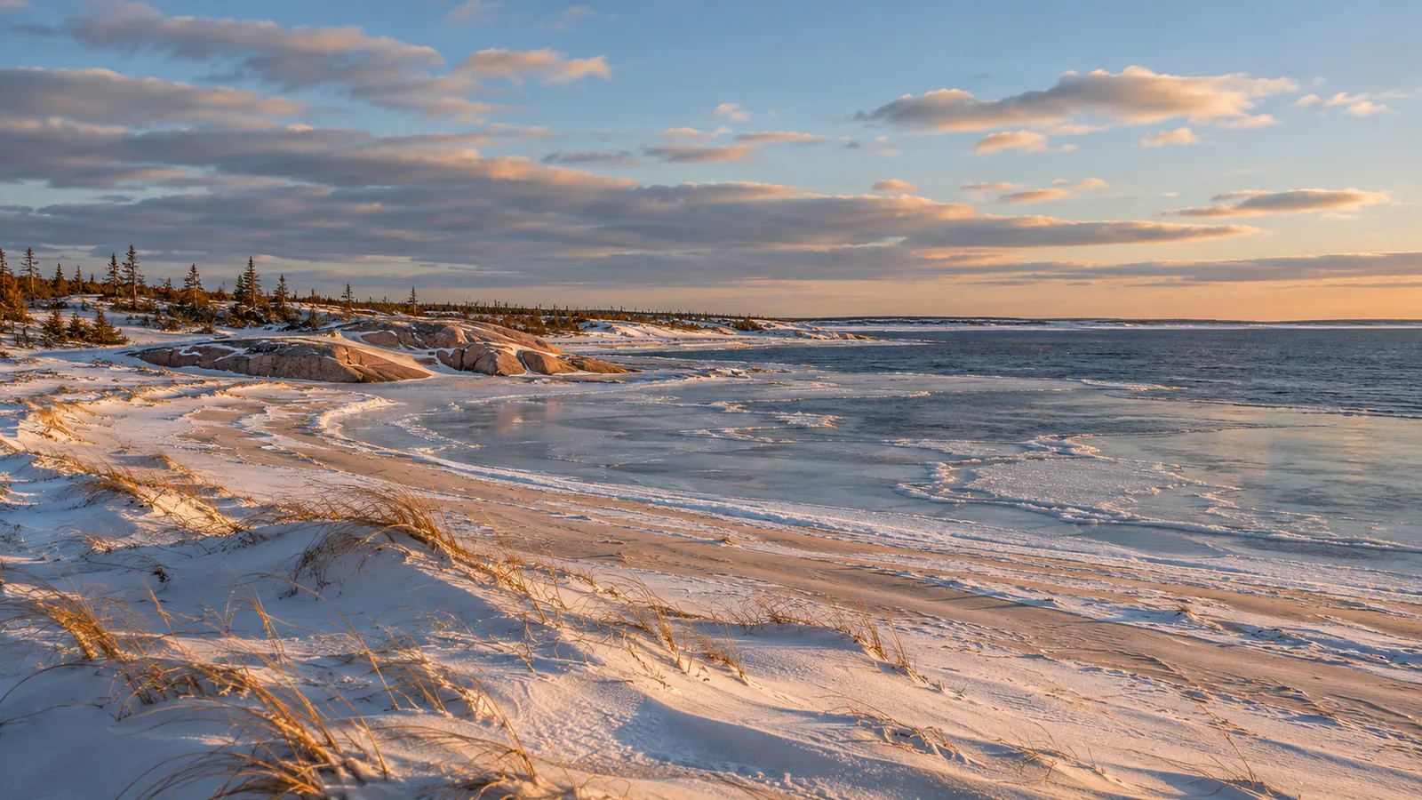
Kuujjuarapik is the southernmost village of Nunavik, at the mouth of the Great Whale River on the coast of Hudson Bay in northern Quebec, beside the Cree village of Whapmagoostui. It can be reached only by air and, in late summer, by boat. These Kuujjuarapik webcams are NAV CANADA's aviation weather cameras at the village airport, shown on the FAA's weather camera site.
Which Kuujjuarapik webcam to check first
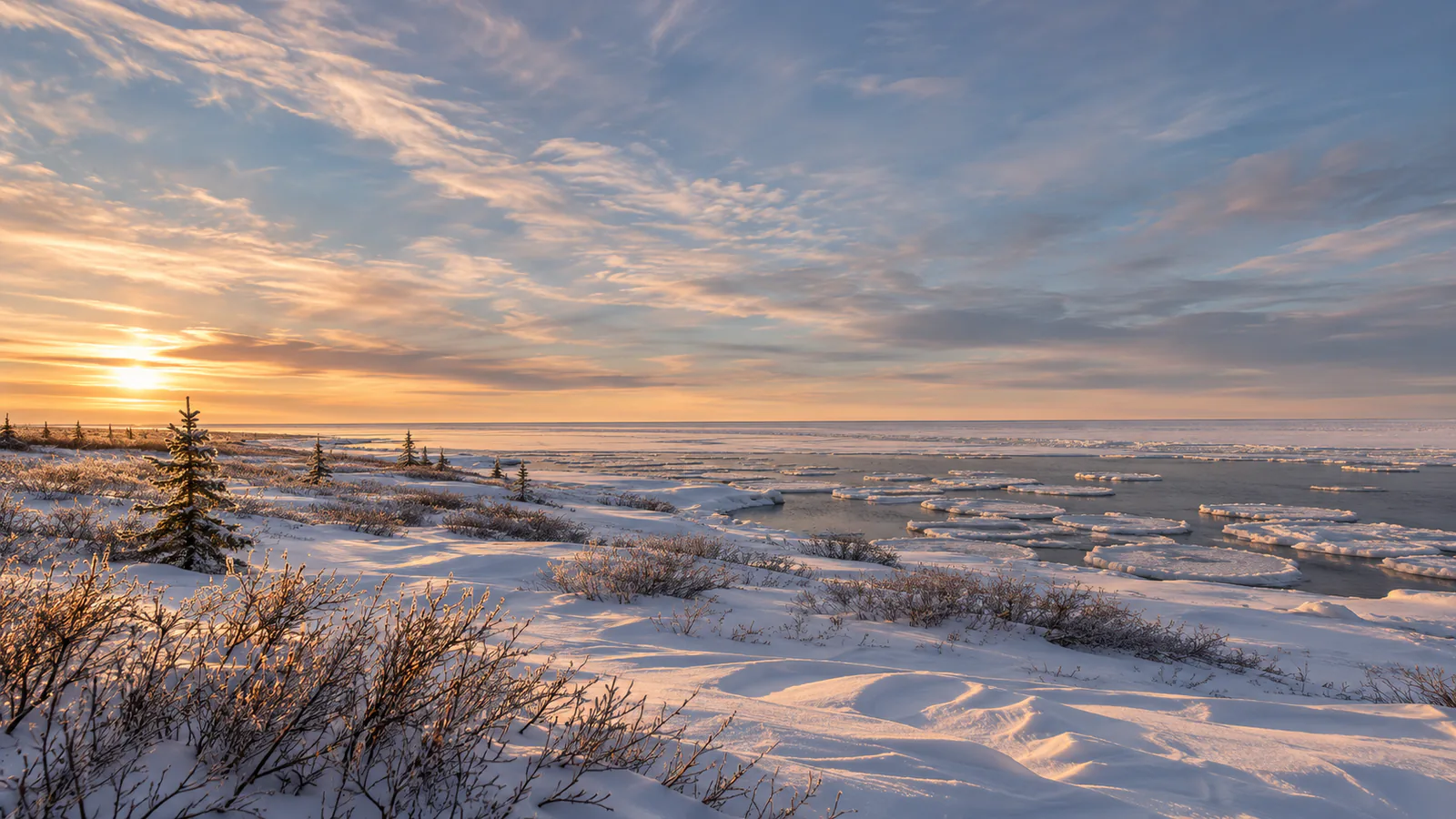
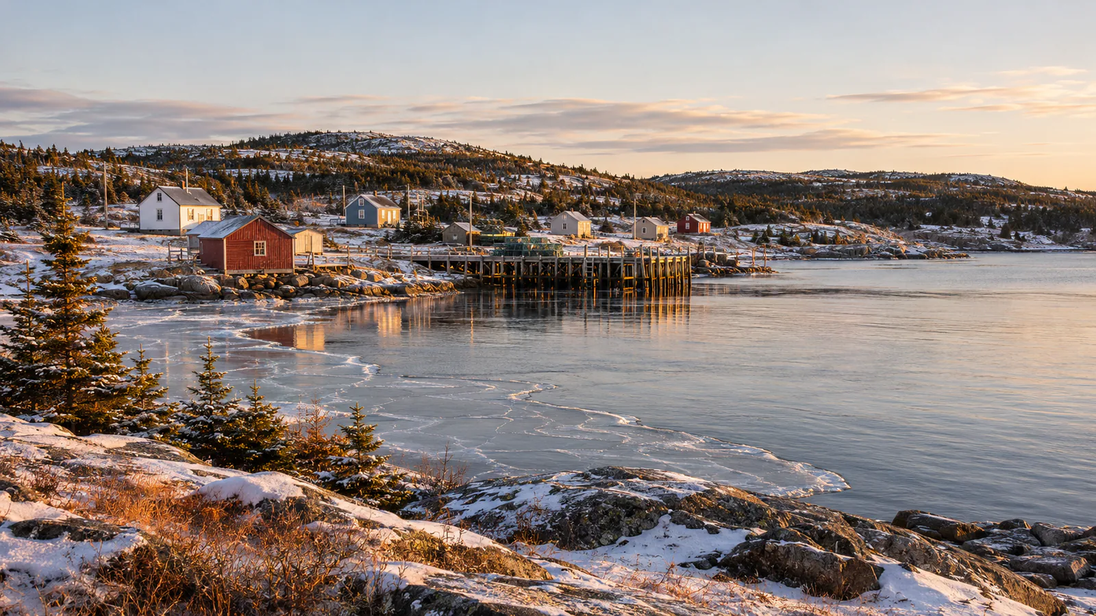
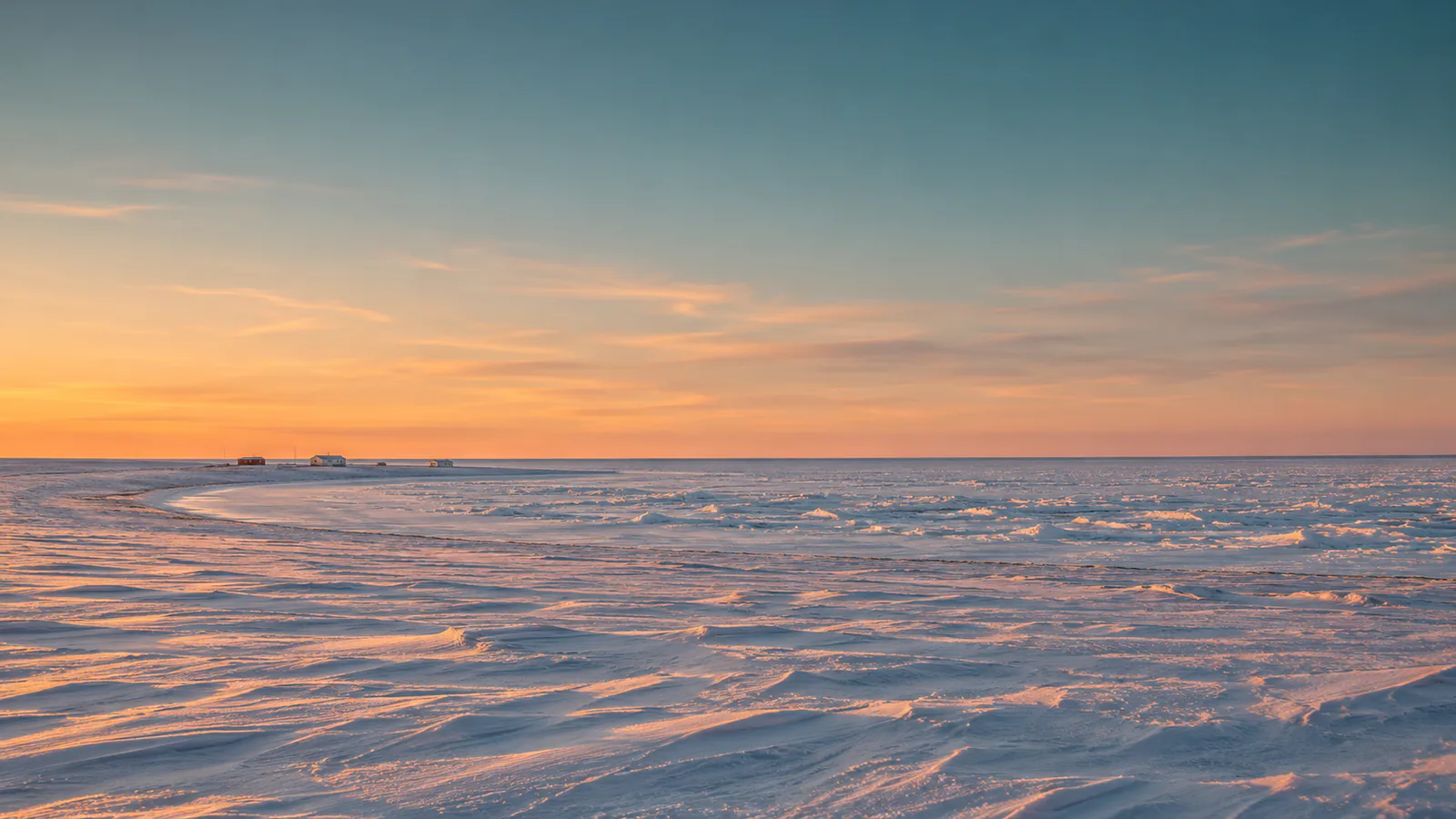
The page shows four cameras by compass direction, each with a loop of recent stills. West and north look over the apron and the sandy ground towards the bay; east and south look to the village edge and the low spruce beyond.
Before you go to Kuujjuarapik
Flights are the only way in for most of the year and are often delayed by fog and wind. Check Environment Canada's forecast for Kuujjuarapik and your airline's notices before you travel.
Live cameras and modelled weather can be delayed, incomplete or offline. Check official weather, access and safety information before you make plans.