



About Mt Hood Meadows
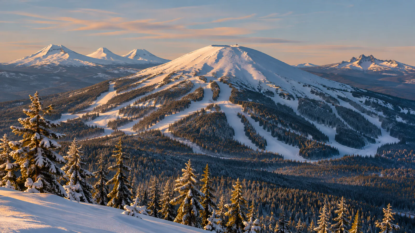
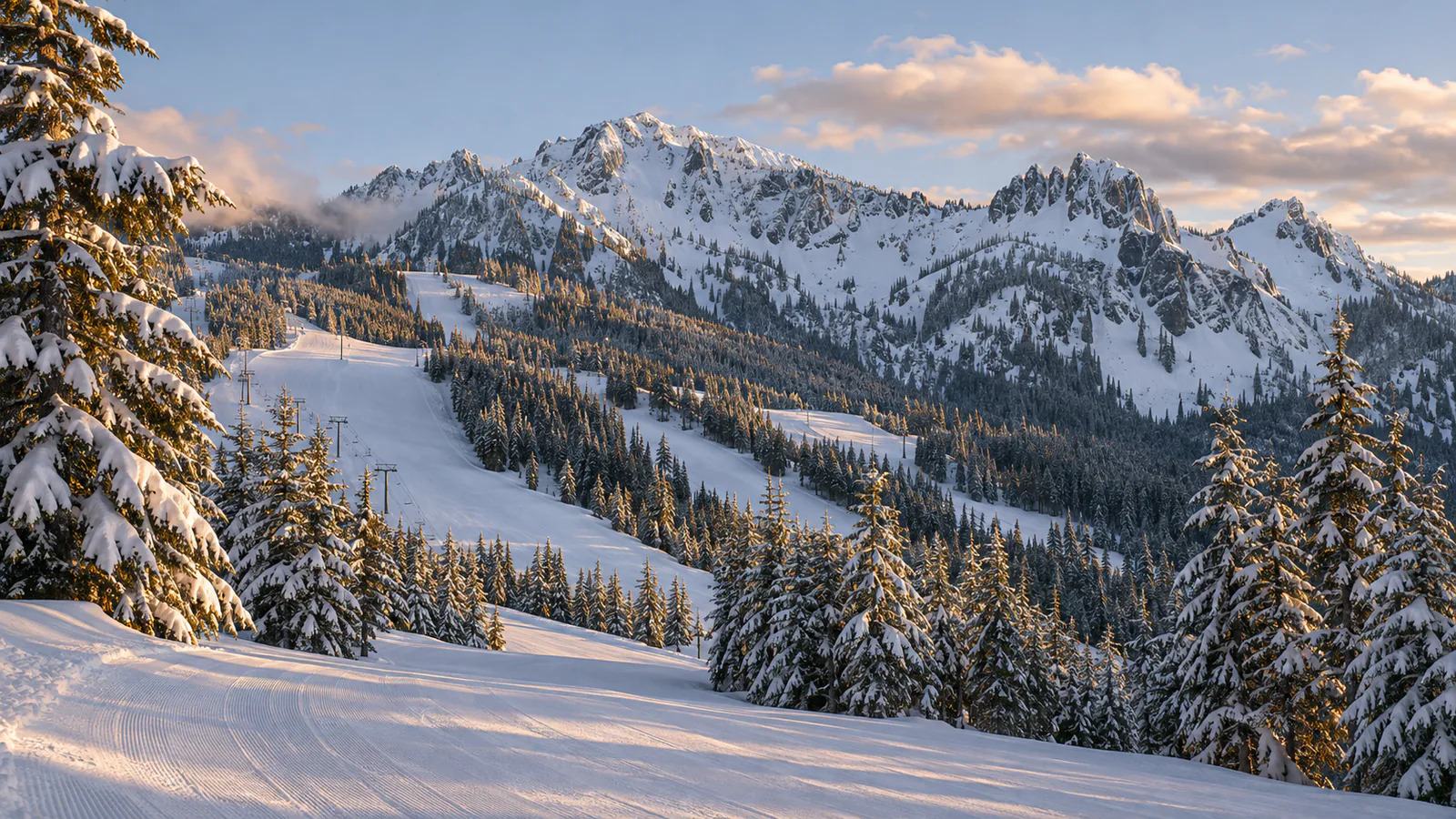
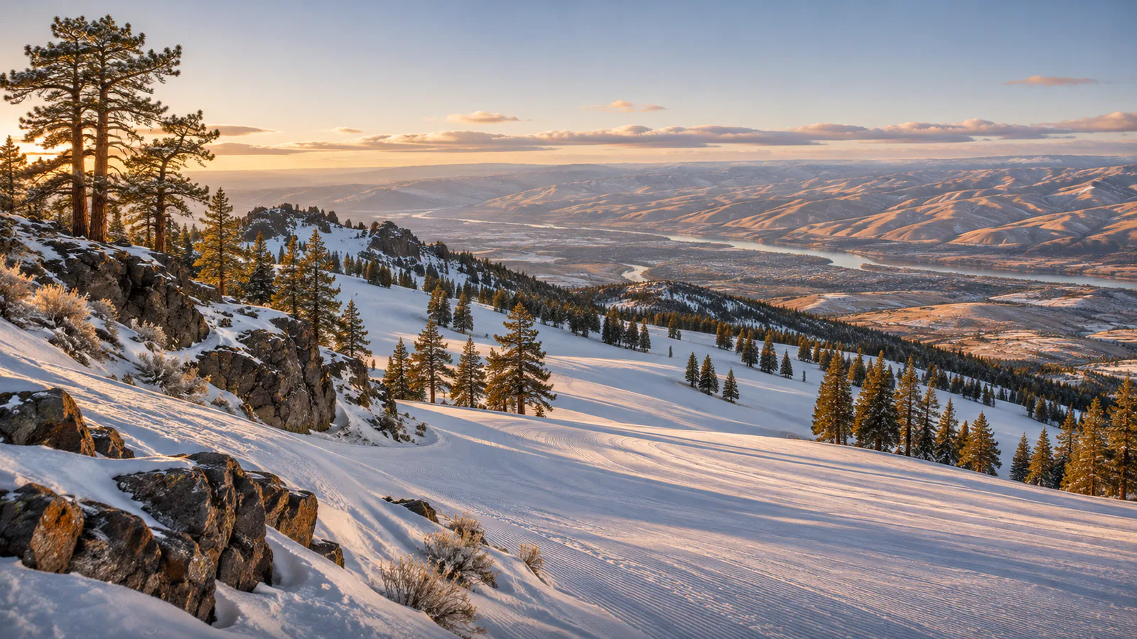
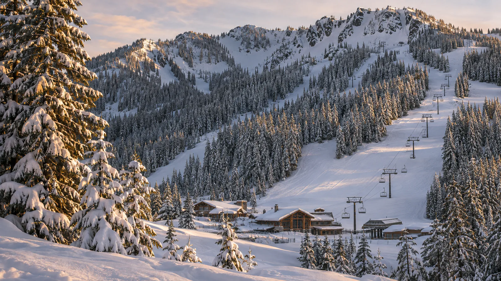
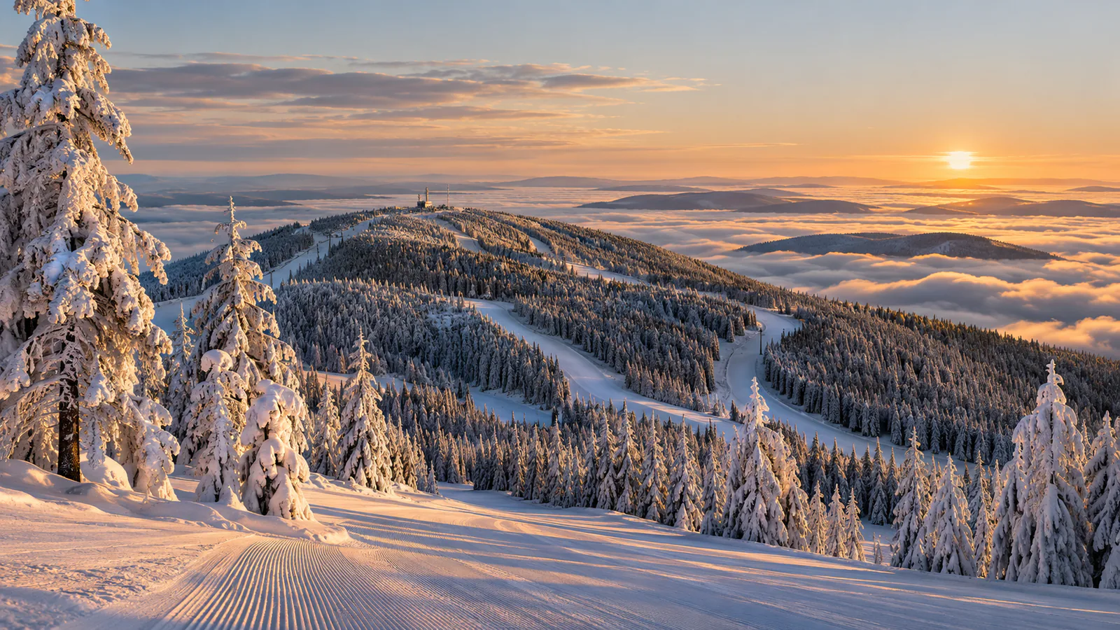
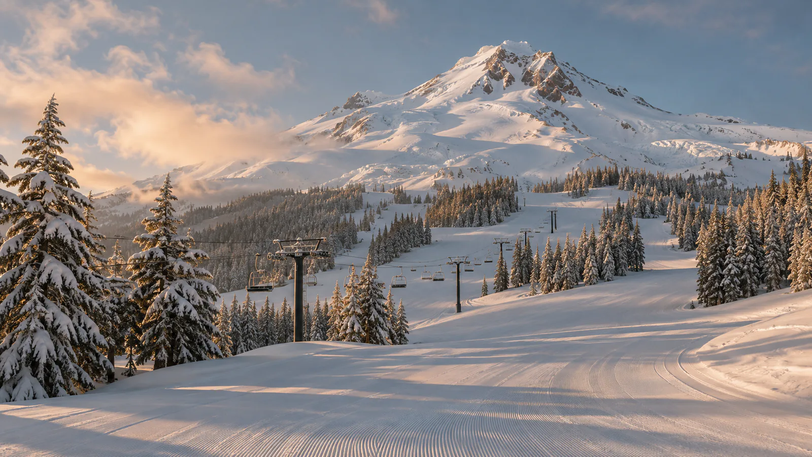
Mt Hood Meadows is the largest ski area on Mount Hood, Oregon's highest peak, a glaciated volcano in the Cascade Range about 80 kilometres east-south-east of Portland. It covers about 2,150 acres on the south-east flank of the mountain, with a vertical drop of 2,777 feet, or about 850 metres, from the base to the top of the Cascade Express at about 7,300 feet. Wet Pacific storms bring heavy snow, and the sheltered east side often gets drier snow than the west. These Mt Hood Meadows live cams from KOIN 6, the Portland TV station, show the ski area and Mount Hood.
Which Mt Hood Meadows webcam to check first
Start with the Mt Hood Meadows camera for the slopes, then the Mt. Hood Territory camera for the wider mountain view. Check the resort's mountain report for lift status. Oregon is eight hours behind UTC in winter and seven in summer.
Before you go to Mt Hood Meadows
Mt Hood Meadows is about one and a half to two hours from Portland by US 26 and Oregon Route 35. Carry chains or traction tyres in winter, and check TripCheck for road conditions on the mountain passes.
Webcams and modelled weather can be delayed, incomplete or offline. A camera can't tell you whether a lift, piste, road or off-piste route is open or safe.