





About Victoria, BC
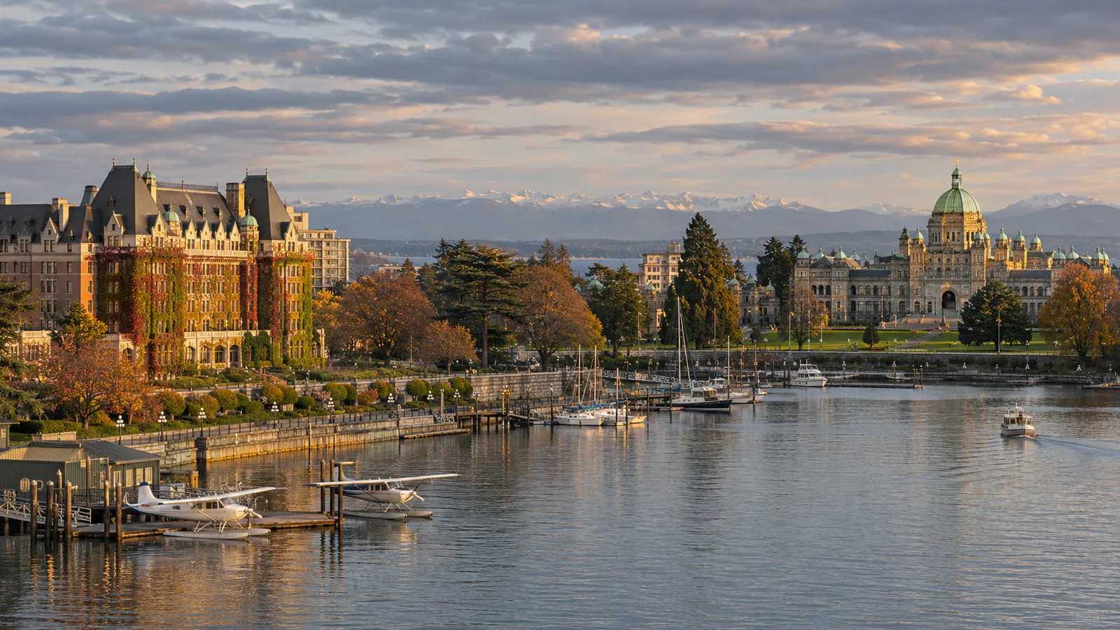
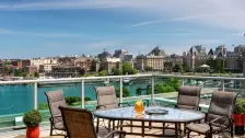
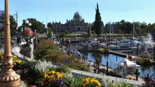
Victoria, the capital of British Columbia, lies at the southern tip of Vancouver Island, looking across the Juan de Fuca Strait to the Olympic Mountains in Washington State. It has the mildest climate in Canada, with dry summers and wet but rarely frozen winters. Cadboro Bay, in the north-east of the city, is home to the Royal Victoria Yacht Club, and Ross Bay, on the south shore along Dallas Road, faces the open strait. These Victoria live cams from the Royal Victoria Yacht Club and Ross Bay Live Webcam show both bays.
Which Victoria, BC webcam to check first
Start with the Royal Victoria Yacht Club camera for Cadboro Bay and the moorings, then the Ross Bay camera for the open water of the strait. British Columbia is eight hours behind UTC in winter and seven in summer.
Before you go to Victoria, BC
Victoria is reached by BC Ferries from Tsawwassen near Vancouver, by ferry from Port Angeles and Seattle, or by floatplane to the Inner Harbour. Victoria International Airport is about 25 kilometres north of the city. Check Environment Canada for wind warnings.
Live cameras and modelled weather can be delayed, incomplete or offline. Check official weather, access and safety information before you make plans.