
About Zambezi Region
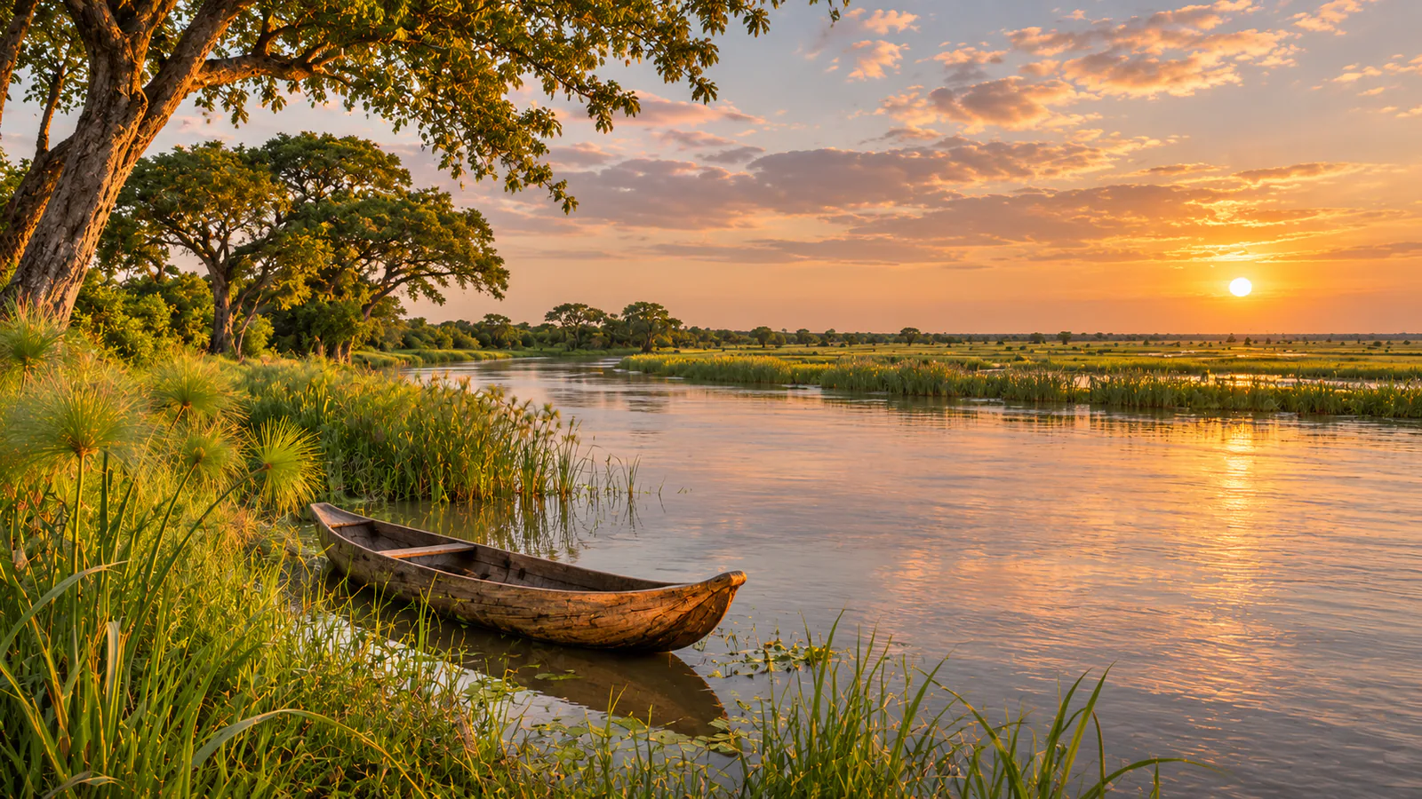
The Zambezi Region, called the Caprivi Strip until 2013, is the narrow arm of north-eastern Namibia that reaches between Angola, Zambia and Botswana to the Zambezi and Chobe rivers. It is the wettest part of the country, a land of rivers, floodplains and woodland. Zambezi Mubala stands on the Namibian bank of the Zambezi about 40 kilometres east of Katima Mulilo, the region's capital, looking across the river to Zambia. These Zambezi Region live cams show the river from the camp and the lodge.
Which Zambezi Region webcam to check first
Start with the Zambezi Mubala Camp camera for the riverbank and the fishing boats in the morning, then the lodge camera for the wider view across the river to Zambia. Namibia is two hours ahead of UTC all year.
Before you go to Zambezi Region
Katima Mulilo has an airport and lies on the B8 road from Rundu and Kasane, with border crossings to Zambia and Botswana nearby. The rains fall from about November to March.
Live cameras and modelled weather can be delayed, incomplete or offline. Check official weather, access and safety information before you make plans.