About Seongsan Ilchulbong
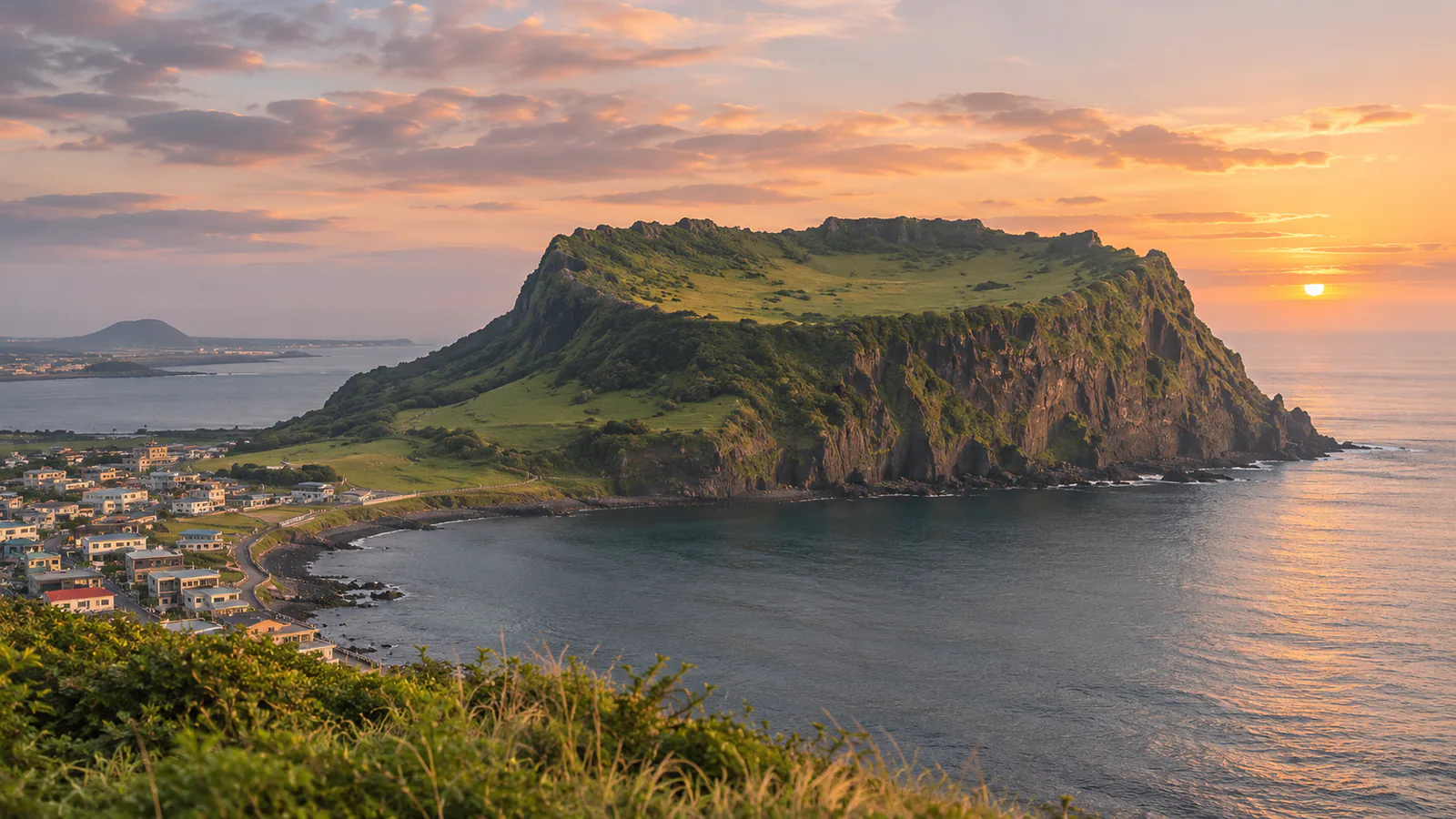
Seongsan Ilchulbong, or Sunrise Peak, is a tuff cone about 180 metres high on the eastern tip of Jeju Island, formed by eruptions on a shallow seabed about 5,000 years ago. Its bowl-shaped crater rises straight from the sea, and a path climbs to the rim, a famous place to watch the sunrise. It became part of the Jeju Volcanic Island and Lava Tubes World Heritage Site in 2007, and the island's haenyeo women divers still work the shore below. This Seongsan Ilchulbong live cam comes from GiGAeyes Live TV, KT's live camera channel.
Which Seongsan Ilchulbong webcam to check first
The single stream looks at the cone from the coast. Watch it at dawn for the sunrise, and for cloud and sea mist before a climb. South Korea is nine hours ahead of UTC.
Before you go to Seongsan Ilchulbong
Seongsan is about an hour and a half from Jeju City by bus or car, and ferries leave from the harbour below for the island of Udo. The summit path opens before sunrise. Check the Korea Meteorological Administration forecast for wind warnings.
Live cameras and modelled weather can be delayed, incomplete or offline. Check official weather, access and safety information before you make plans.