






About San Francisco
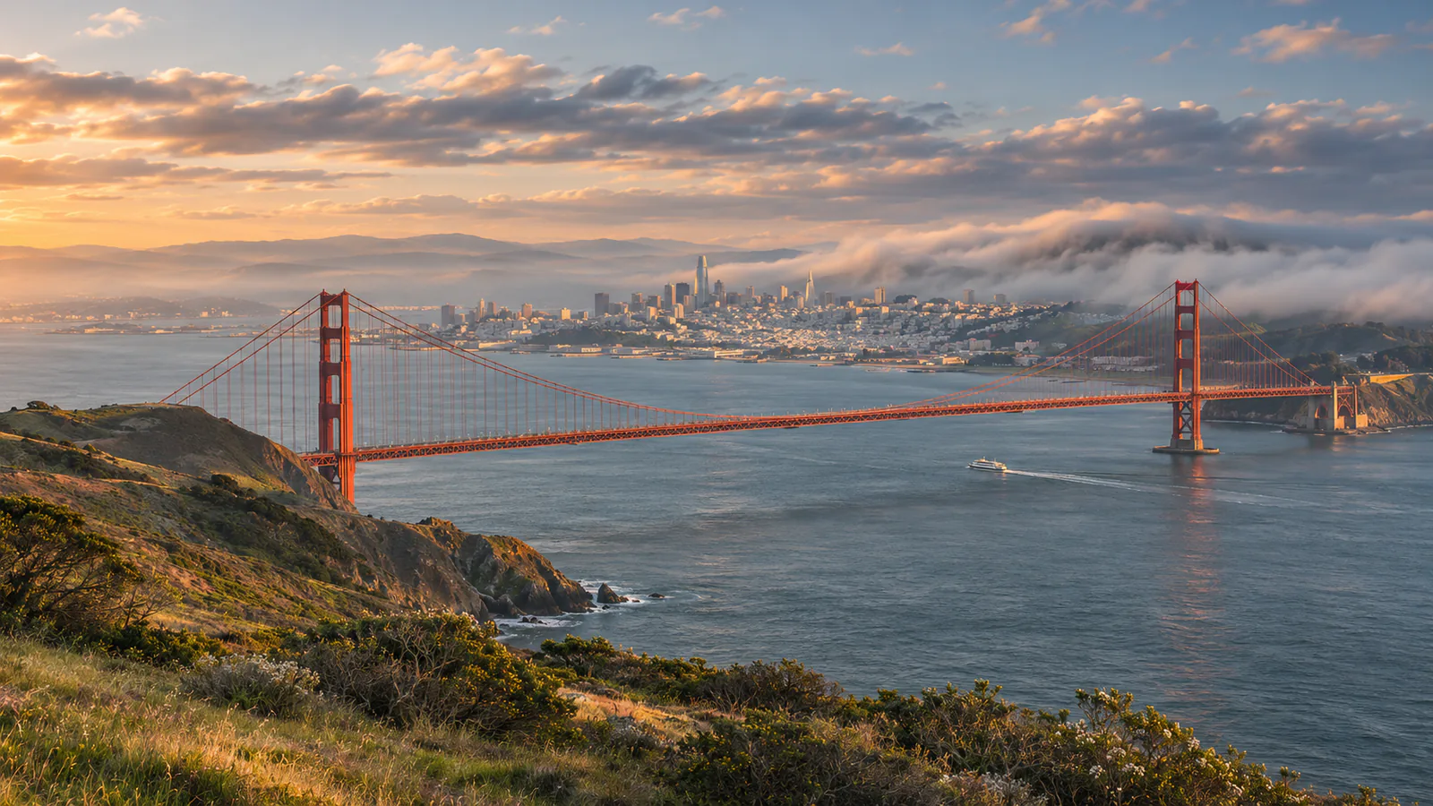
San Francisco sits on the tip of a peninsula between the Pacific and San Francisco Bay, joined to Marin County by the Golden Gate Bridge, opened in 1937. The Embarcadero runs along the bay shore past the old piers, among them Pier 23, between the Ferry Building and Fisherman's Wharf. Angel Island, the largest island in the bay, is a state park, and its Ayala Cove is the landing for ferries from the city and Tiburon. These San Francisco live cams from StreamTime and Angel Island show the bay from both sides.
Which San Francisco webcam to check first
Start with the Pier 23 Cafe camera for the bay from the Embarcadero, then the Ayala Cove camera on Angel Island. California is eight hours behind UTC in winter and seven in summer.
Before you go to San Francisco
San Francisco International Airport is about 25 minutes from downtown by BART. Ferries to Angel Island leave from Pier 41 and from Tiburon. Summer days are often cool and foggy, so take a warm layer. Check the National Weather Service for wind on the bay.
Live cameras and modelled weather can be delayed, incomplete or offline. Check official weather, access and safety information before you make plans.