

About Outer Banks
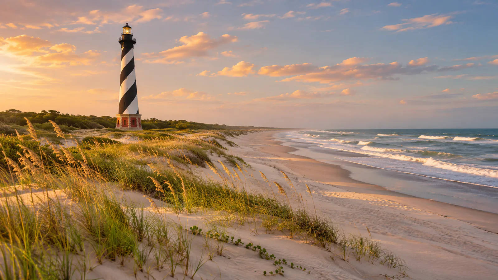
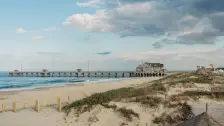
The Outer Banks are a chain of narrow barrier islands along the coast of North Carolina, separated from the mainland by Currituck, Albemarle and Pamlico sounds. Their beaches run for more than 150 kilometres from Corolla to Ocracoke, past the dunes of Kill Devil Hills, where the Wright brothers made the first powered flights in 1903, and the Cape Hatteras Lighthouse. The islands take the full force of Atlantic storms, and Cape Hatteras is known for its shifting shoals. These Outer Banks live cams show the beach from Twiddy & Company and an osprey nest from the OBX Osprey Cam.
Which Outer Banks webcam to check first
Start with Twiddy & Company's beach camera for the surf and the sky, then the OBX Osprey Cam, a pan-tilt-zoom camera on a nest. Ospreys usually arrive in March and leave in late summer, so the nest is often empty in winter. North Carolina is five hours behind UTC in winter and four in summer.
Before you go to Outer Banks
The Outer Banks are reached by road over the Wright Memorial Bridge from the north or by the bridges from Manteo, and the islands south of Hatteras by ferry. Highway 12 can close when storms wash sand and water over the road. Check the National Weather Service for rip currents and storm warnings.
Live cameras and modelled weather can be delayed, incomplete or offline. Check official weather, access and safety information before you make plans.