About Lofoten
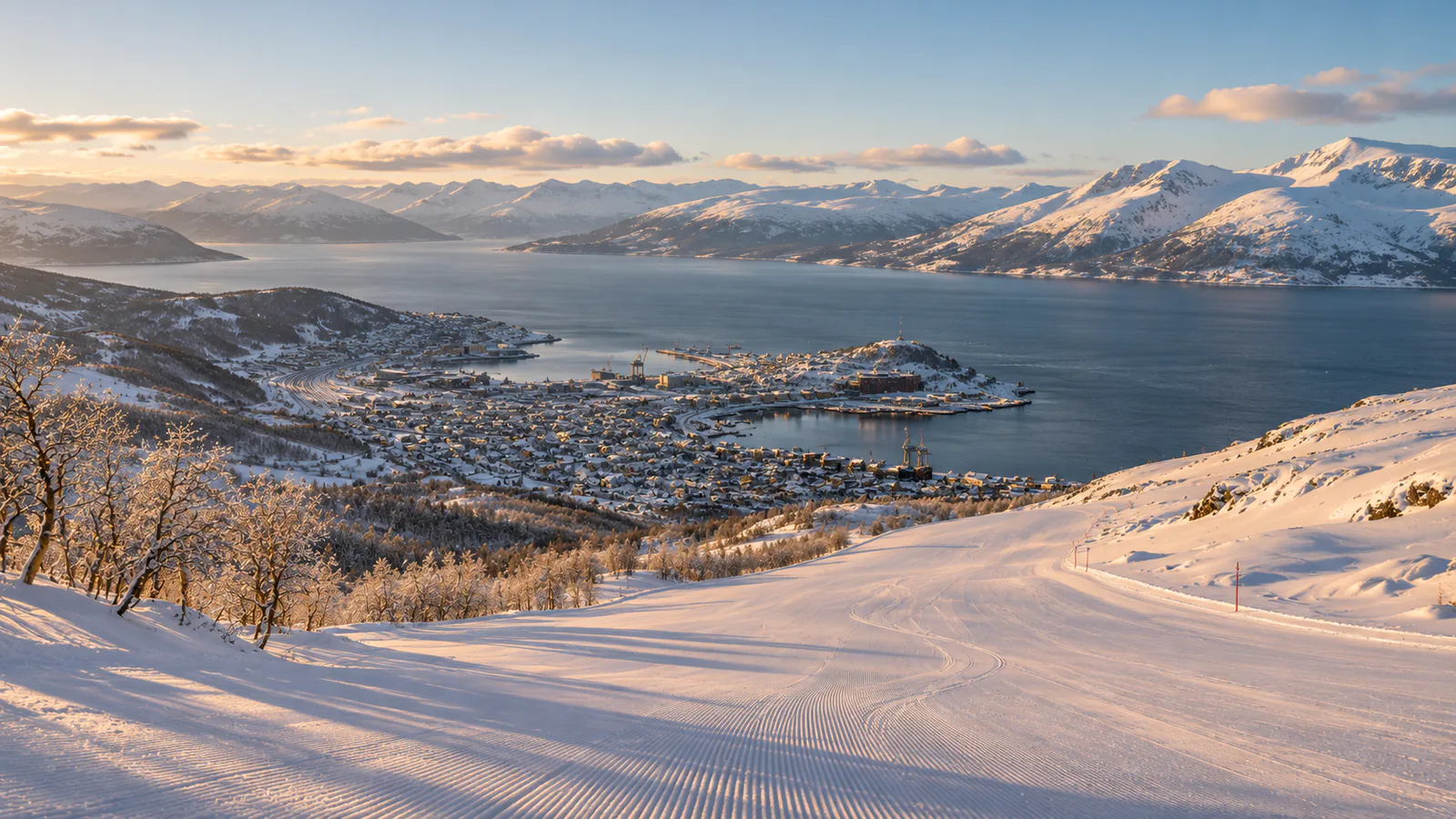
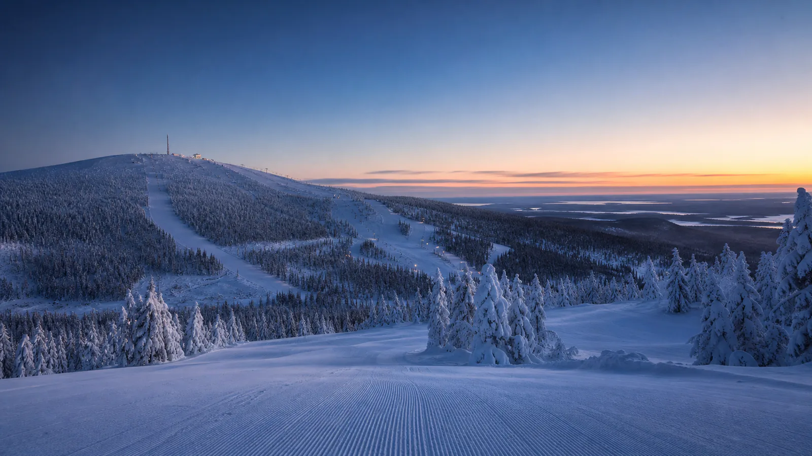
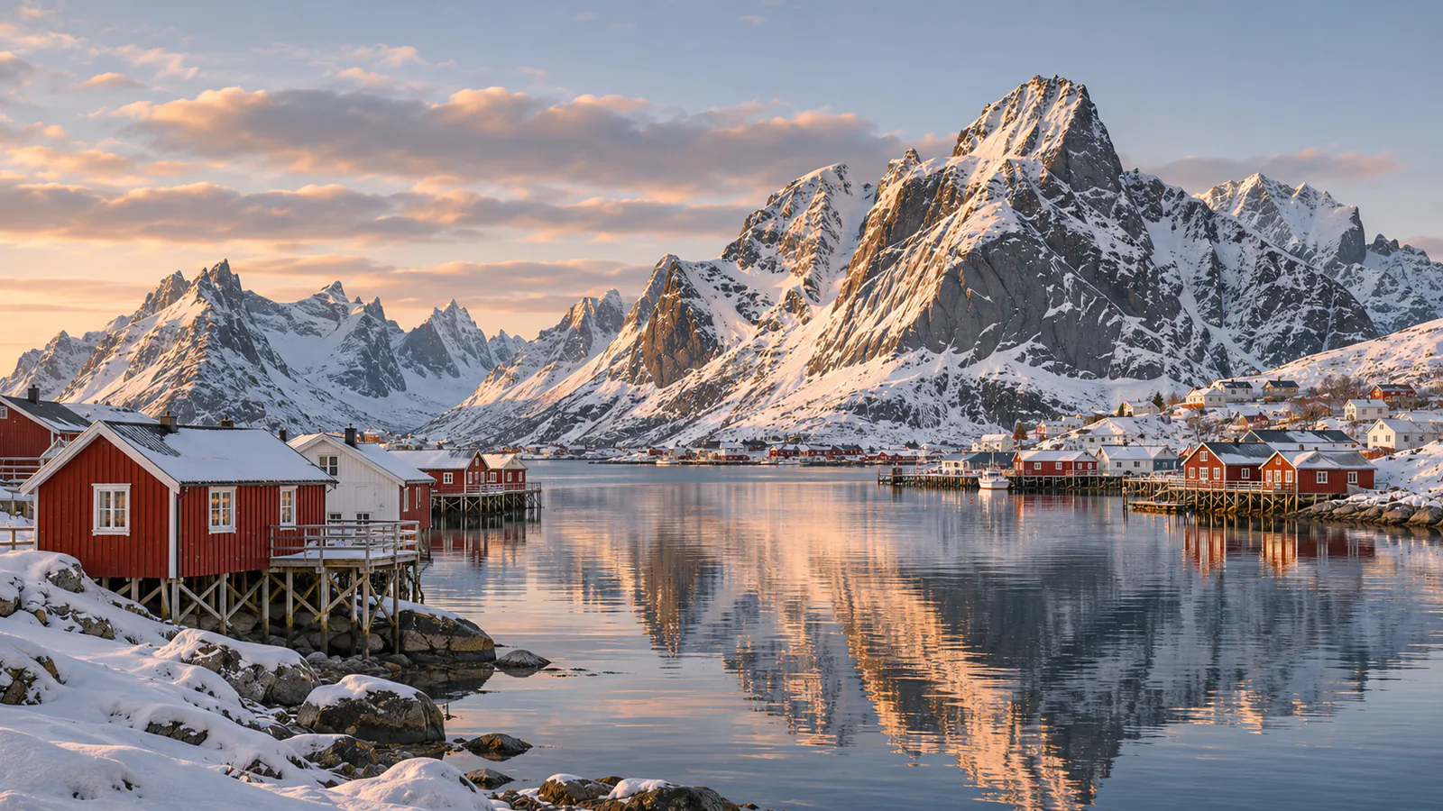
The Lofoten Islands reach out into the Norwegian Sea from the coast of Nordland, well north of the Arctic Circle, as a chain of steep granite peaks with fishing villages at their feet. The Gulf Stream keeps the islands far milder than their latitude suggests, and every winter the spawning cod draw fishing boats to the islands. Vestvågøy, in the middle of the chain, has a small ski slope just above the fishing village of Stamsund. This Lofoten live cam, from Norway Live, looks down that slope.
Which Lofoten webcam to check first
The single stream is a fixed view of the Lofoten Snowboard og Alpinsenter slope above Stamsund. Use it for snow cover, wind and visibility in the middle of the islands. Norway is one hour ahead of UTC in winter and two in summer.
Before you go to Lofoten
Lofoten is reached by air to Leknes or Svolvær, by the Hurtigruten coastal ships, by ferry from Bodø to Moskenes, or by road on the E10. Winter storms can stop the ferries and close mountain roads, so check MET Norway's forecast and the Norwegian Public Roads Administration before you travel.
Live cameras and modelled weather can be delayed, incomplete or offline. Check official weather, access and safety information before you make plans.