About Kruger National Park
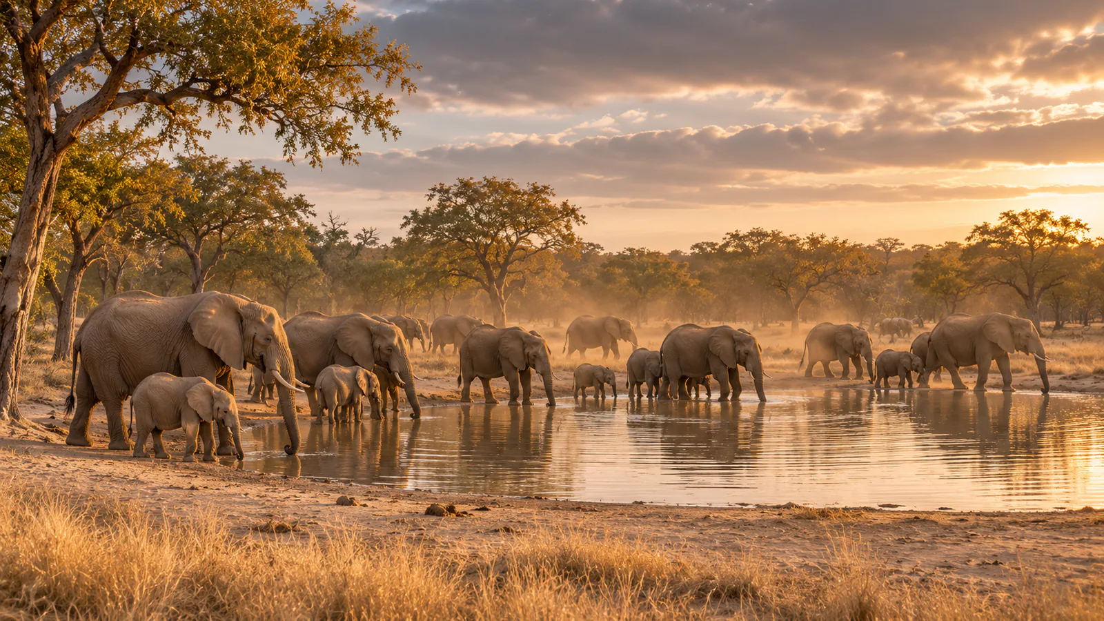
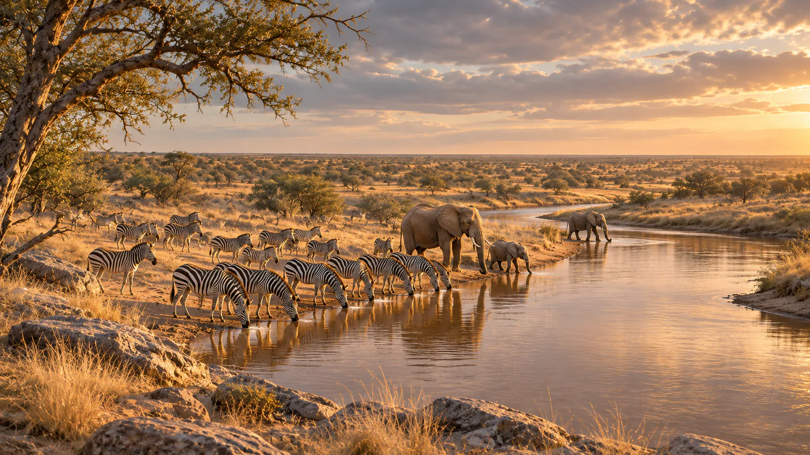
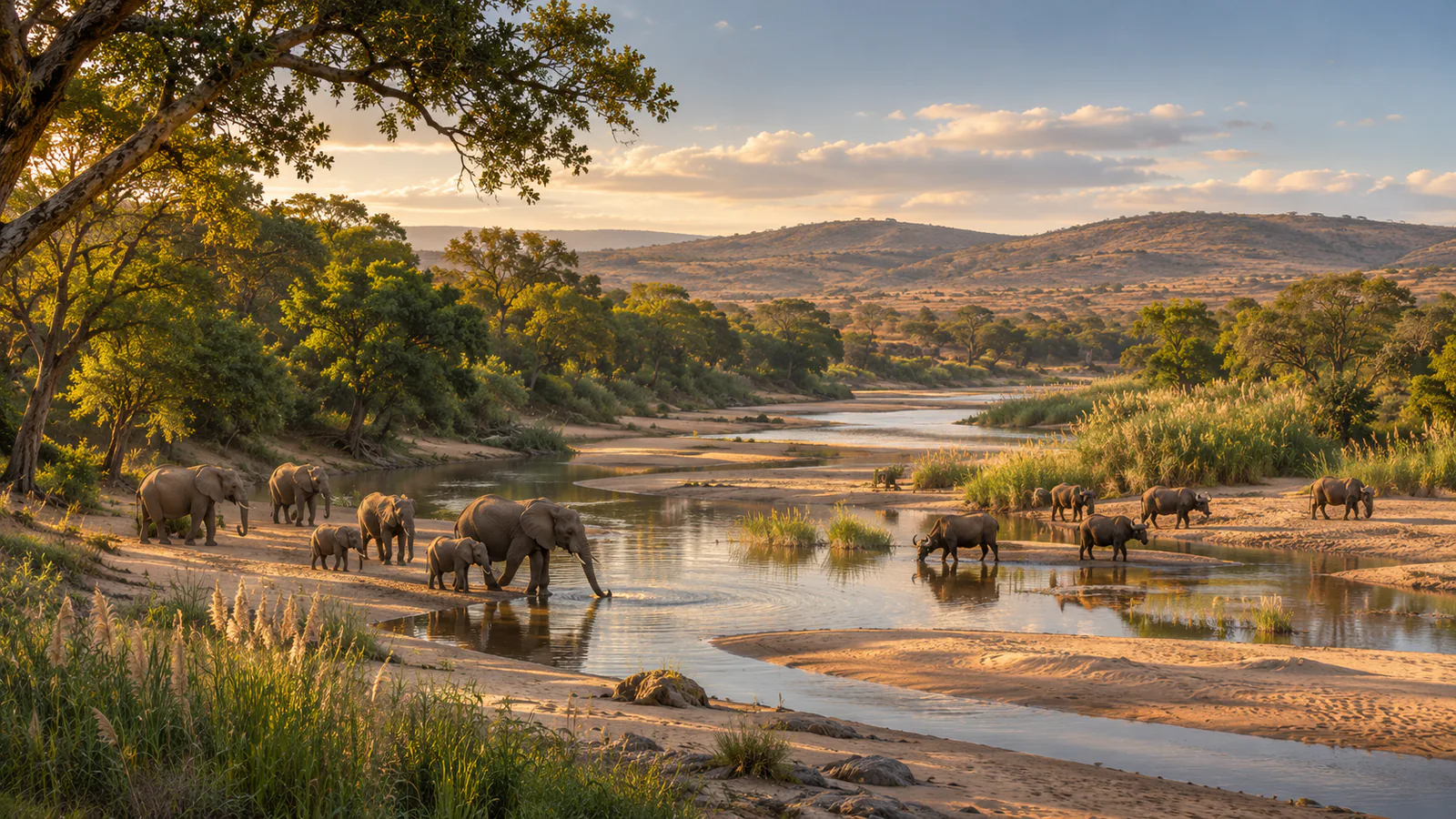
Kruger National Park stretches along South Africa's border with Mozambique, and with the unfenced private reserves on its western side it forms the Greater Kruger. In the dry winter months animals depend on the rivers and waterholes, while summer brings heat, storms and green bush. These Kruger National Park live cams, run by Africam with lodges in the park and the neighbouring Sabi Sand, show rivers and waterholes across the area.
Which Kruger National Park webcam to check first
Start with Kruger Shalati at Skukuza for the Sabie River, then compare the Olifants River camera further north. Nkorho and Ulusaba are in the Sabi Sand, where waterholes draw buffalo and elephant, and the Shalati Sunrise camera looks along a wetland channel.
Before you go to Kruger National Park
Camp gates open and close at set times, and malaria precautions are advised in the Lowveld. Check South African National Parks and the South African Weather Service before you go, especially in the summer storm season.
Live cameras and modelled weather can be delayed, incomplete or offline. Check official weather, access and safety information before you make plans.