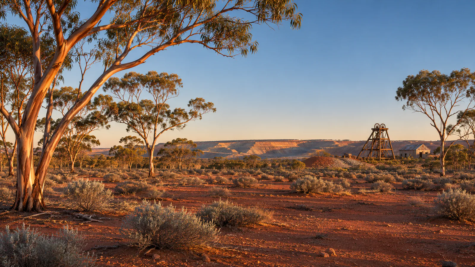
Illustration of Kalgoorlie

Australia · Goldfields, Western Australia

Kalgoorlie webcams.

Kalgoorlie webcams: Airservices Australia's weather cameras at Kalgoorlie-Boulder Airport in the Western Australian Goldfields, with current weather.

Kalgoorlie has 3 camera views on this page, published by Airservices Australia.

Camera 1 of 3

Kalgoorlie - Airport looking east

Still image · reloads every 90 sView at source
Latest live camera view: Kalgoorlie - Airport looking eastCamera image · Reloads every 90 seconds

The view east past the white weather radar tower and scattered eucalypts. Airservices Australia

3 cameras at Kalgoorlie

Plan your visit

Kalgoorlie at a glance

What to expect, when to go and what to look for on the live view. Check official local information before you make plans.
Best for
Big outback skies over Western Australia's Goldfields
Best time to watch
Year-round; summers are hot and dry, winters mild with cold nights
Watch for
Clear desert dawns, summer thunderstorms and dust, and long shadows over the red earth late in the day
Location
Goldfields, Western Australia, Australia
Coordinates
-30.7489, 121.4658
Cameras
4 views
Published by
Airservices Australia
Official site
kalgoorlietourism.com
Listings last reviewed

Kalgoorlie webcams: what each camera shows

  1. Kalgoorlie - Airport looking east

    The view east past the white weather radar tower and scattered eucalypts.

    Still image, refreshed by the publisher · Airservices Australia

  2. Kalgoorlie - Airport looking south

    The flat ground of the airfield to the south, with the horizon far off.

    Still image, refreshed by the publisher · Airservices Australia

  3. Kalgoorlie - Airport looking west

    Houses on the edge of the city beyond open scrub to the west.

    Still image, refreshed by the publisher · Airservices Australia

  4. Kalgoorlie - Airservices weather cameras

    The official camera page for Kalgoorlie-Boulder Airport, with every view and the time of each image.

    Opens on the publisher's site · Airservices Australia

All cameras: view at Airservices Australia

About Kalgoorlie

Kalgoorlie, also called Kalgoorlie-Boulder, is a gold-mining city in the Goldfields of Western Australia, about 600 kilometres east-north-east of Perth. It was founded in the gold rush of 1893 and still sits beside one of Australia's largest open-cut gold mines, the Super Pit. These Kalgoorlie webcams are aviation weather cameras run by Airservices Australia at Kalgoorlie-Boulder Airport.

Which Kalgoorlie webcam to check first

Start with the west view for the edge of the city across open scrub, then the east view with the weather radar tower. The south view looks along the airfield. The images are stamped in GMT, eight hours behind Kalgoorlie.

Before you go to Kalgoorlie

Distances in the Goldfields are long and summer heat is severe. Check the Bureau of Meteorology's Kalgoorlie forecast, and carry water if you drive beyond the city.

About live views

Live cameras and modelled weather can be delayed, incomplete or offline. Check official weather, access and safety information before you make plans.