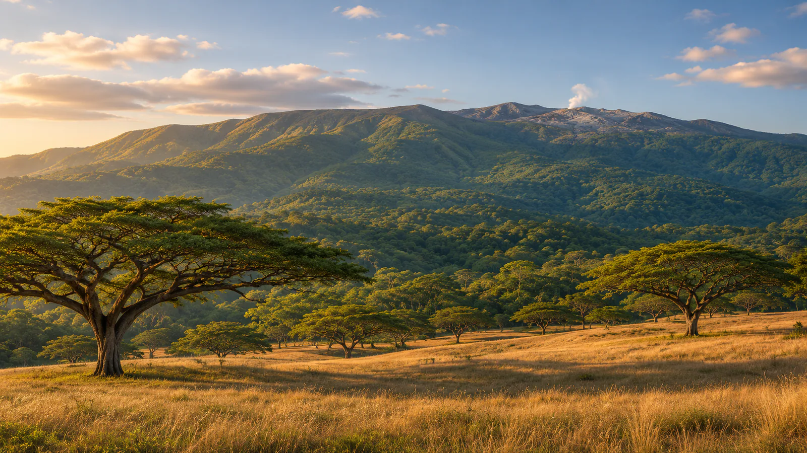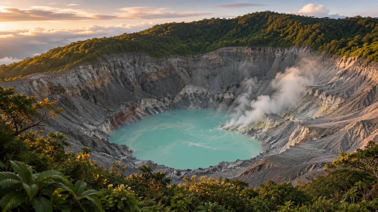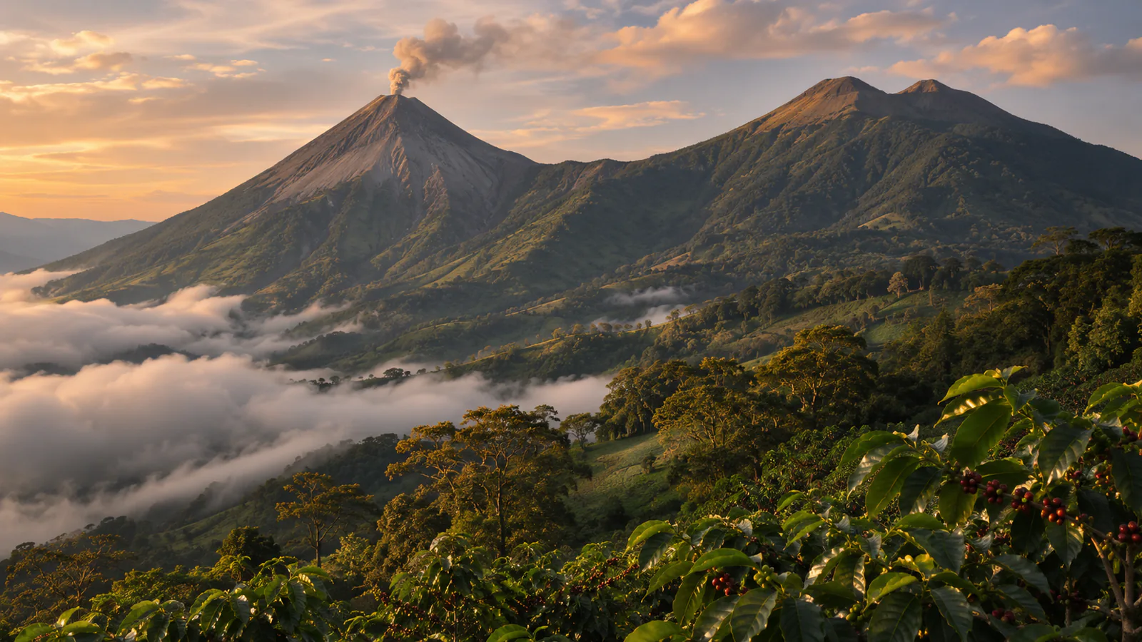
Illustration of Volcán de Fuego

Guatemala · Sacatepéquez, Guatemalan highlands

Volcán de Fuego webcams.

Volcán de Fuego webcams: INSIVUMEH's monitoring camera on the south-east flank of Guatemala's active volcano near Antigua, with current weather.

Volcán de Fuego has 1 camera view on this page, published by INSIVUMEH.

Camera 1 of 1

Volcán de Fuego - South-east flank

Still image · reloads every 90 sView at source
Latest live camera view: Volcán de Fuego - South-east flankCamera image · Reloads every 90 seconds

A refreshed still from the monitoring camera on the south-east side, with green slopes below and the cone above when the cloud allows. INSIVUMEH

1 camera at Volcán de Fuego

Plan your visit

Volcán de Fuego at a glance

What to expect, when to go and what to look for on the live view. Check official local information before you make plans.
Best for
Checking whether the volcano is clear and what it is doing today
Best time to watch
November to April is the dry season, with the clearest mornings
Watch for
Ash puffs and gas plumes from the summit, cloud building up the slopes from late morning, and heavy rain on the flanks from May to October
Location
Sacatepéquez, Guatemalan highlands, Guatemala
Coordinates
14.4747, -90.8808
Cameras
2 views
Published by
INSIVUMEH
Official site
visitguatemala.gt
Listings last reviewed

Volcán de Fuego webcams: what each camera shows

  1. Volcán de Fuego - South-east flank

    A refreshed still from the monitoring camera on the south-east side, with green slopes below and the cone above when the cloud allows.

    Still image, refreshed by the publisher · INSIVUMEH

  2. Volcán de Fuego - INSIVUMEH cameras

    The institute's volcano camera page, with its Fuego and Santiaguito views.

    Opens on the publisher's site · INSIVUMEH

All cameras: view at INSIVUMEH

About Volcán de Fuego

Volcán de Fuego is an active stratovolcano in Guatemala, about 16 kilometres west of Antigua Guatemala, where the departments of Chimaltenango, Escuintla and Sacatepéquez meet. It is usually clearest early in the morning, before cloud builds from the Pacific side. These Volcán de Fuego webcams come from INSIVUMEH, the national institute that monitors Guatemala's volcanoes.

Which Volcán de Fuego webcam to check first

The still on this page is INSIVUMEH's camera on the south-east flank, refreshed through the day and stamped in local time. The institute's own page adds its other Fuego cameras and one on Santiaguito, some as short video loops.

Before you go to Volcán de Fuego

Fuego is dangerous at close range. Follow INSIVUMEH's bulletins and the instructions of CONRED, Guatemala's disaster agency, and use a licensed guide for the Acatenango viewpoint hike.

About live views

Live cameras and modelled weather can be delayed, incomplete or offline. Check official weather, access and safety information before you make plans.