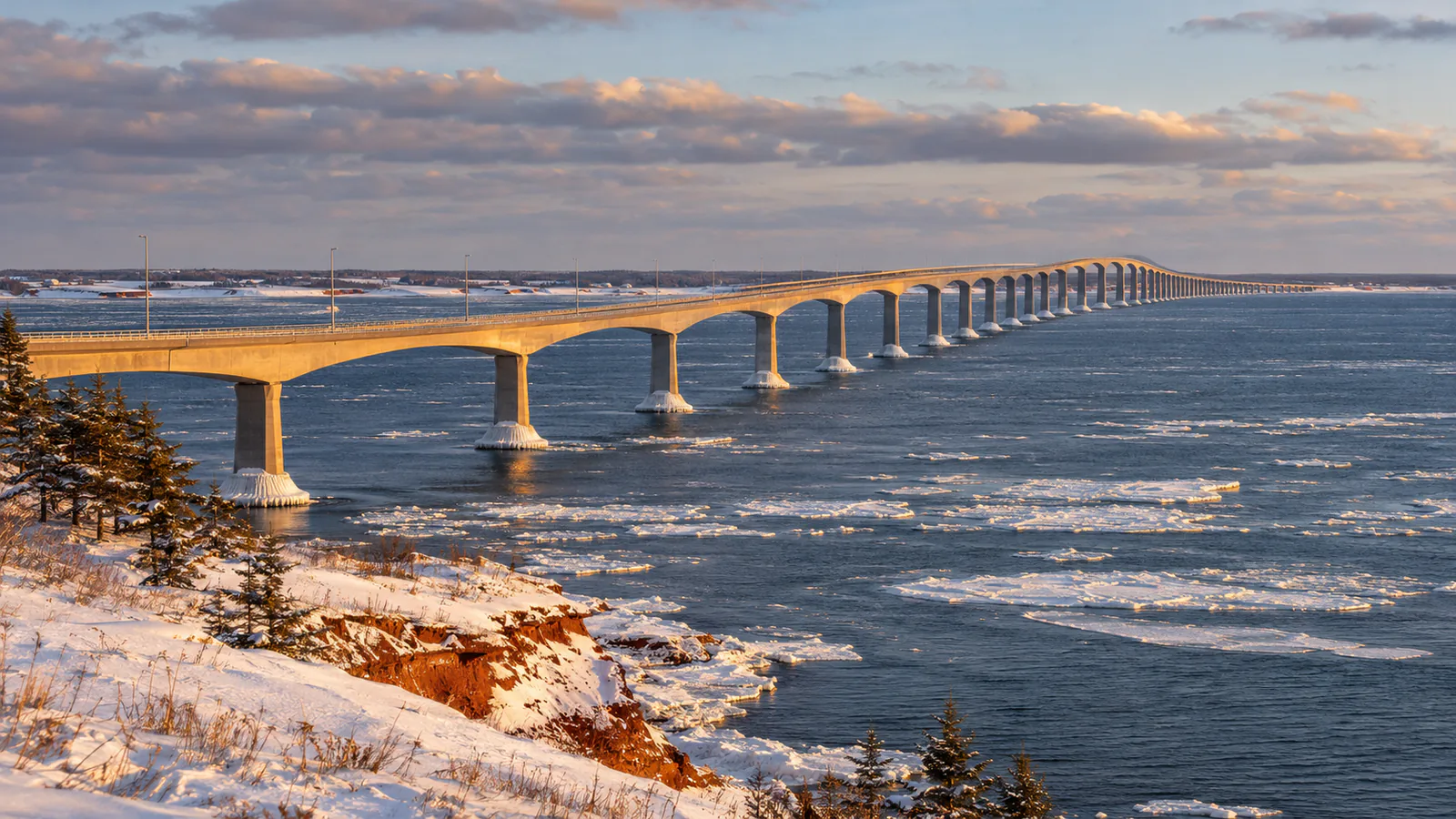
About Confederation Bridge
The Confederation Bridge carries the Trans-Canada Highway 12.9 kilometres across the Northumberland Strait between Borden-Carleton, Prince Edward Island, and Cape Jourimain, New Brunswick, and it's the longest bridge in the world over ice-covered water. Wind can restrict high-sided vehicles, and in winter the strait fills with drifting ice. This Confederation Bridge live cam is embedded on the bridge's official website.
Which Confederation Bridge webcam to check first
Start the stream for the deck and the water on either side. Whitecaps and spray mean strong wind, which can bring restrictions for high-sided vehicles; in winter, look for ice floes in the strait.
Before you go to Confederation Bridge
Wind restrictions can apply to motorcycles, trailers and high-sided vehicles. Check the bridge's traffic information and Environment Canada's forecast before you cross.
Live cameras and modelled weather can be delayed, incomplete or offline. Check official weather, access and safety information before you make plans.