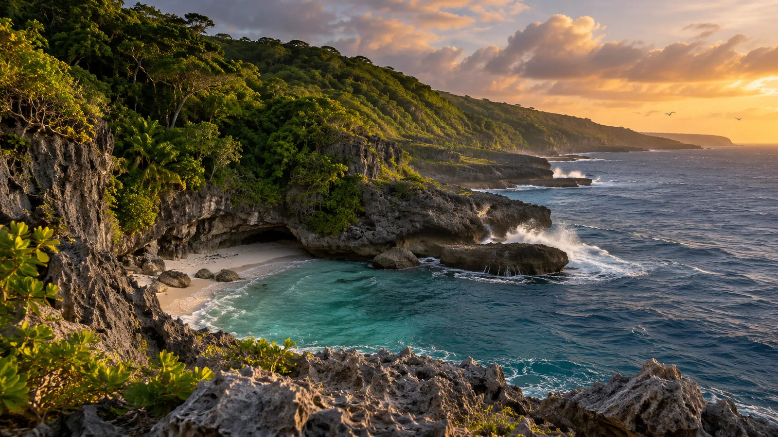
Illustration of Christmas Island

Christmas Island · Indian Ocean, Australian external territory

Christmas Island webcams.

Christmas Island webcams: Airservices Australia's weather cameras at the island's airport in the Indian Ocean, with current weather for the territory.

Christmas Island has 3 camera views on this page, published by Airservices Australia.

Camera 1 of 3

Christmas Island - Airport looking east

Still image · reloads every 90 sView at source
Latest live camera view: Christmas Island - Airport looking eastCamera image · Reloads every 90 seconds

The runway and the dark edge of the rainforest to the east, under trade-wind or monsoon cloud. Airservices Australia

3 cameras at Christmas Island

Plan your visit

Christmas Island at a glance

What to expect, when to go and what to look for on the live view. Check official local information before you make plans.
Best for
A rare live look at the sky over a remote Indian Ocean island
Best time to watch
Year-round; the wet season runs roughly from November to April
Watch for
Monsoon cloud and heavy showers in the wet season, trade-wind cloud in the dry, and fast tropical sunrises and sunsets
Location
Indian Ocean, Australian external territory, Christmas Island
Coordinates
-10.4506, 105.6903
Cameras
4 views
Published by
Airservices Australia
Official site
christmas.net.au
Listings last reviewed

Christmas Island webcams: what each camera shows

  1. Christmas Island - Airport looking east

    The runway and the dark edge of the rainforest to the east, under trade-wind or monsoon cloud.

    Still image, refreshed by the publisher · Airservices Australia

  2. Christmas Island - Airport looking south

    The grass airfield to the south, with rainforest trees closing in on the right.

    Still image, refreshed by the publisher · Airservices Australia

  3. Christmas Island - Airport looking north

    The weather instruments and the low terminal building, with forested high ground behind.

    Still image, refreshed by the publisher · Airservices Australia

  4. Christmas Island - Airservices weather cameras

    The official camera page for Christmas Island, with every view and the time of each image.

    Opens on the publisher's site · Airservices Australia

All cameras: view at Airservices Australia

About Christmas Island

Christmas Island is an Australian external territory in the Indian Ocean, about 350 kilometres south of Java and some 1,550 kilometres from the nearest point of the Australian mainland. Much of the island is rainforest, known for its endemic wildlife and its red land crabs. These Christmas Island webcams are aviation weather cameras run by Airservices Australia at the island's airport.

Which Christmas Island webcam to check first

Start with the east view along the runway to the wall of rainforest, then the north view for the terminal building and the weather instruments. The south view shows how close the forest comes to the airfield. The images are stamped in GMT, seven hours behind the island.

Before you go to Christmas Island

Flights to Christmas Island are few and are sometimes turned back by low cloud. Check the Bureau of Meteorology's Christmas Island forecast and your airline's notices before you travel.

About live views

Live cameras and modelled weather can be delayed, incomplete or offline. Check official weather, access and safety information before you make plans.